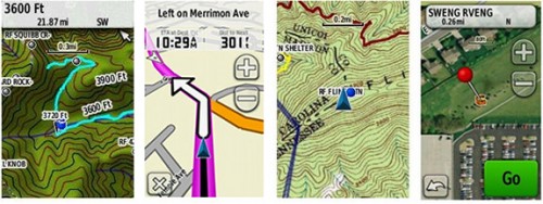
As GPS and GNSS technology expands and becomes more and more precise and refined, it means interesting changes are coming for any in the mapping industry or the surveying industry. The New South Wales Surveying & Spacial Sciences Institute will be hosting a webinar on July 23, 2014 from 1 to 2 p.m. discussing how land surveyors and those in a similar field will need to change as the proliferation of GPS technology continues to climb upwards and how GPS and GNSS has changed how we as a culture do things.
The presenter will be Professor Chris Rizos, professor of geodesy & navigation at the School of Civil & Environmental Engineering of UNSW. For more information, Spacial Source has published a rather technical overview of the webinar that may help decide if it’s worth the time.
For more information on the webinar or to register, visit their event page.

