From the first hand drawn maps used by explorers and sailors to the digital maps used by your average college student navigating a new city, maps are an important part of the history of not only humans, but travel and even GPS. After all, without accurate maps, GPS signals would be basically useless—as seen by the vast number of people who ended up lost because the GPS tried to direct them through streets that no longer existed.
Now through March 1, 2017, the PACCAR Gallery inside the British Library in London will be hosting an exhibition of paper maps. Called Maps and the 20th Century: Drawing the Line, the exhibition explores the power and evolution of maps across the last century and questions how maps effect our daily lives and what it means to be mapped.
From fictional maps of Middle Earth and the Hundred Acre Wood to maps of the New York Subway system, and even the propaganda maps from the world wars, this stunning exhibition features something for the cartographer in everyone.
Check out this awesome video the British Library created to promote the exhibit:
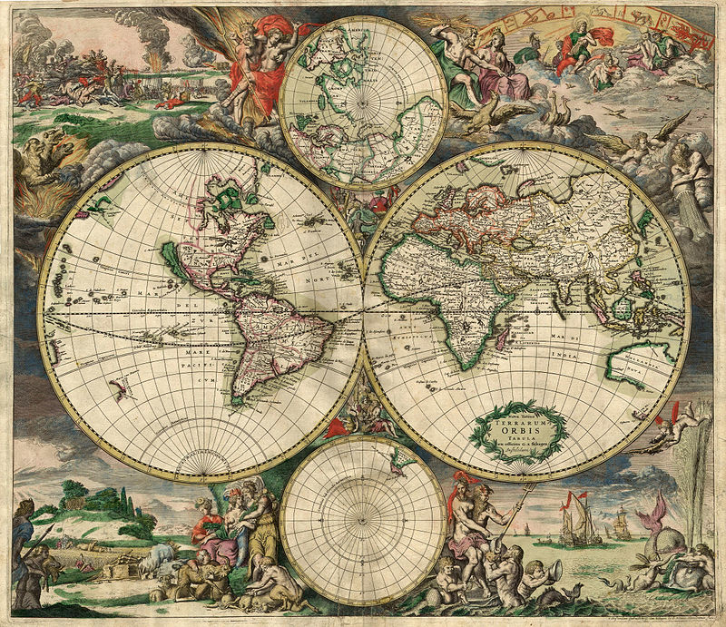
According to the Guardian, the British Library has around 4 million maps in its possession, with around 200 of them on display through this exhibit. Many of the maps show significant events in history, but there are also fictional maps and British Ministry Defense maps which will be on display for the first time.
There is a small fee of £12 ($15) to get into to see the exhibit, but it would be well worth the trip if you are in the London area between now and March.
