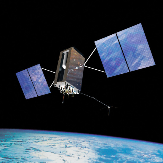
GPS is probably one of the most useful technologies to date. Most users—even if they aren’t GPS enthusiasts with dedicated automotive or handheld devices—use it on a daily basis. From getting accurate weather predictions based on your GPS location to finding your way around the city or even locating a new restaurant, GPS is pretty much everywhere. But, a surprisingly small number of people actually know anything about GPS.
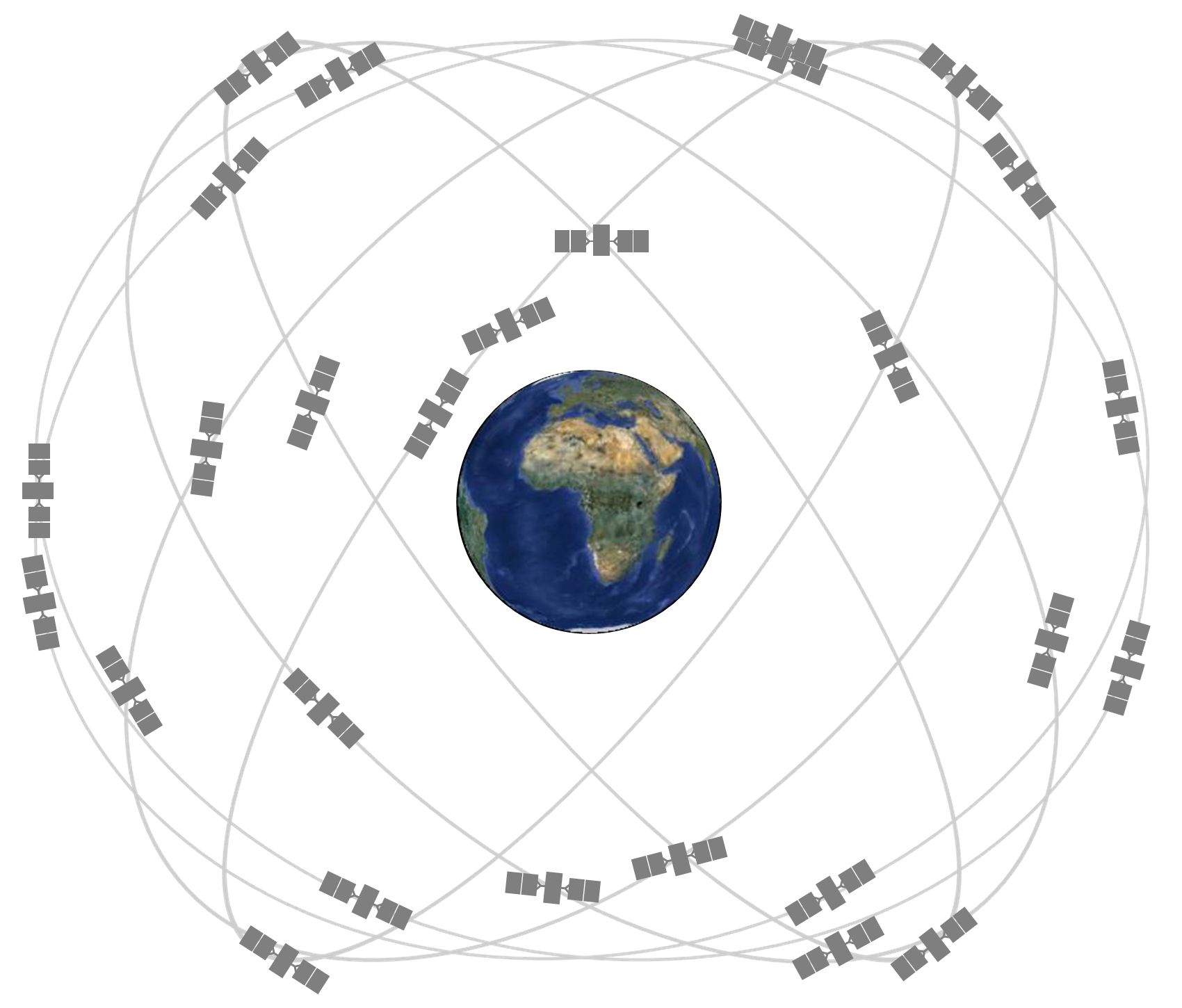
Now, this is something that we have written about before here on GPS Tracklog, but as GPS is becoming more and more mainstream as time goes on, it’s something that is worth going over once again. If you’re here to try and find out how GPS works, then check out this post for a more in-depth discussion. Below, you’ll find some of the questions that I get asked the most. read more