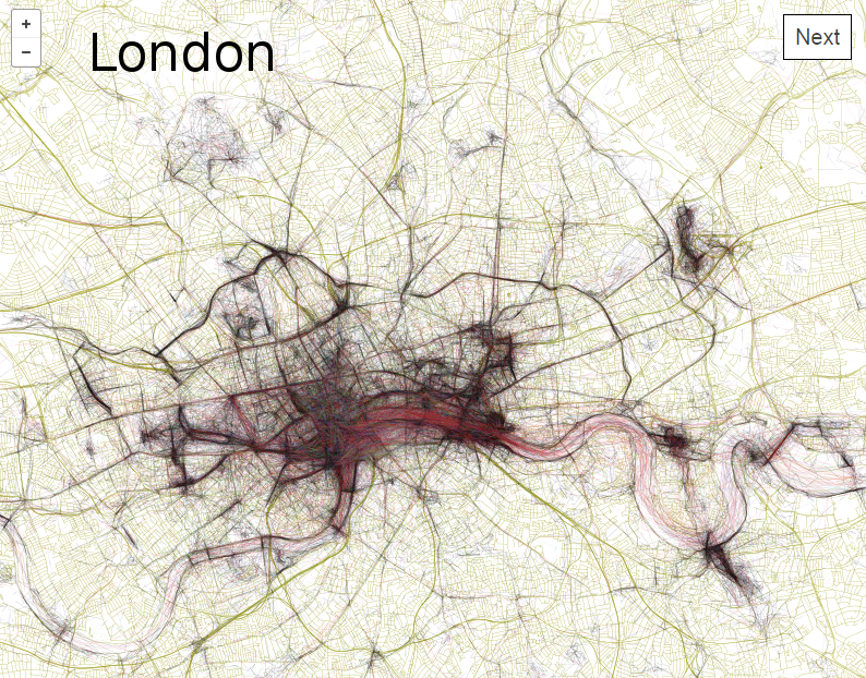
Every city has something unique about it, whether it’s a memorial statue, a cool coffee shop, a world-renowned museum or a local pizza parlor. These places are visited by hundreds or maybe even thousands of people a year, which translates to dozens of photos, many of which are geotagged to show the location of these popular and special places.
So, what would happen if you took all of those photos and created a map, linking the photos to show individual journeys and locations? Well, you would end up a neat sketch-like image of the location, filled with individual travels and popular locations. You’d get the Geotagger’s World Atlas.
I discovered the Geotagger’s World Atlas earlier this week and it was so neat I simply had to share it with you guys. While not really useful as a map, this world Atlas provides a unique way to look at some of the world’s most popular destinations, and the images are just really cool looking. Here are a couple of examples:
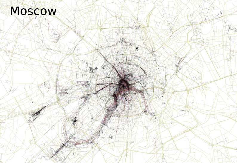
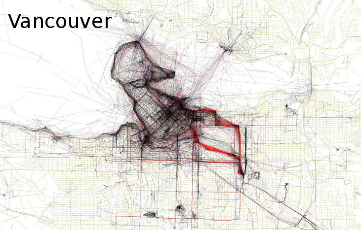
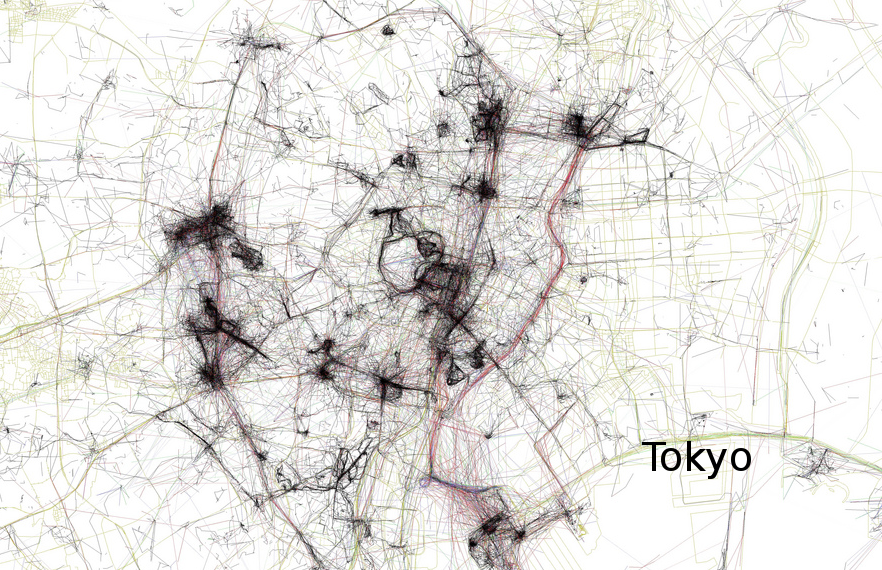
The Geotagger’s World Atlas is a project spanning more than ten years of geotagged photo collection and data plotting. According to the article about it, the creator Eric Fisher took images from the popular site Flikr and began to map them more than five years ago. At first, he created static maps which have since evolved into an immersive drag-and-zoom style atlas, which you can view here.
What is especially fun for me is not only looking at the popular destinations like London, Rome, Tokyo or Chicago, but checking out some of the smaller cities around them. Even my hometown has a couple of lines of photos, showing that every place has a little touch of charm.
