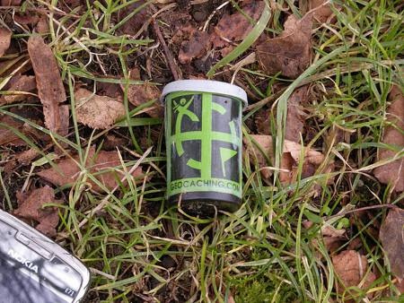
This is the fifth in a series of posts designed to help introduce beginners to the use of handheld GPS receivers.
Geocaching is a sort of high-tech treasure hunt and a great way to learn to use your handheld GPS. To begin, go to geocaching.com and enter your zip code. You’ll likely find coordinates for hundreds of nearby caches. You’ll need to register (free) to be able to download them directly to your GPS.
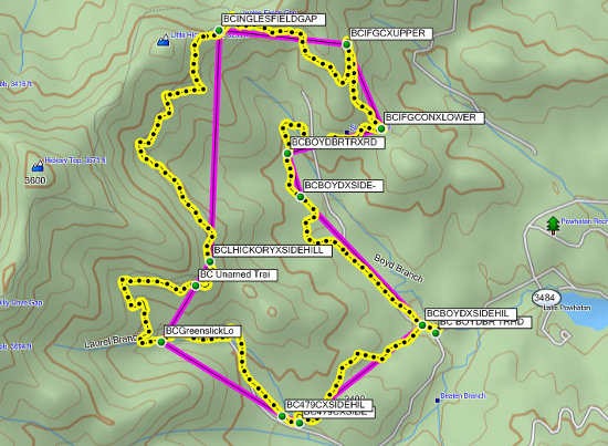 This is the fourth in a series of posts designed to help introduce beginners to the use of handheld GPS receivers.
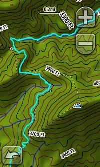 Tracks are a record of where you’ve been. People often use the term “breadcrumb trail,” a la Hansel and Gretel, to describe tracks. Your GPS receiver creates this record as you go along, allowing you to follow the electronic breadcrumb trail back to your starting point. A sample track is shown at left. A hike of a few miles can have 1,000 or more track points, which make up the track (also known as the tracklog — and if you guessed that’s where this site got its name, you’re right!).
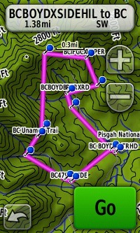 Routes are used for navigation. As the name implies, they are about where you are going. Routes consist of a series of
 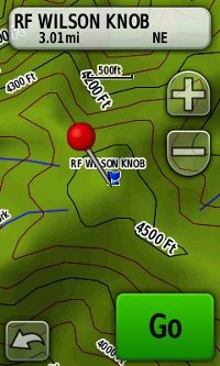 Waypoints are perhaps the single most important handheld GPS term, since they are key to navigation. So here’s our definition: A waypoint is a location which can be stored in your GPS receiver in the form of coordinates, allowing you to navigate to it. Each waypoint has a unique name or number assigned to it.