It might seem like something of a trick question, as everyone knows that GPS is used to help provide location and navigation information. Whether you’re driving across country or hiking back to base camp, we’ve probably all used GPS at least once. But, what most people don’t realize is that GPS actually does way more than just providing directions. In fact, it’s absolutely critical to our national infrastructure and the economy.
Below, you’ll find a list of the different industries and uses for GPS, and nearly all of them either provide safety or efficiency in some way. From helping tractors drive in straight lines to delivering aid to disaster victims and even providing entertainment value, GPS is one of the most fascinating technologies out there today. And, as if that wasn’t enough, new innovations and uses are constantly being explored.
Check it out:
Agriculture
- Precision soil sampling
- Help tractors navigate automatically through fields
- Track use of pesticides to minimize overspray
Aviation
- Map the most fuel-efficient routes
- Provide precise air navigation and location
- Avoid collisions and improve overall safety
- Track plane locations in case of emergencies
Environment
- Tracking animals
- Track the spread of environmental disasters like oil leaks and fire
- Analyze seismic activity and crustal monitoring
- Provide analysis of environmental concerns
Marine
- Provide navigation, position, speed, and course information
- Precise buoy placement
- SOS capabilities
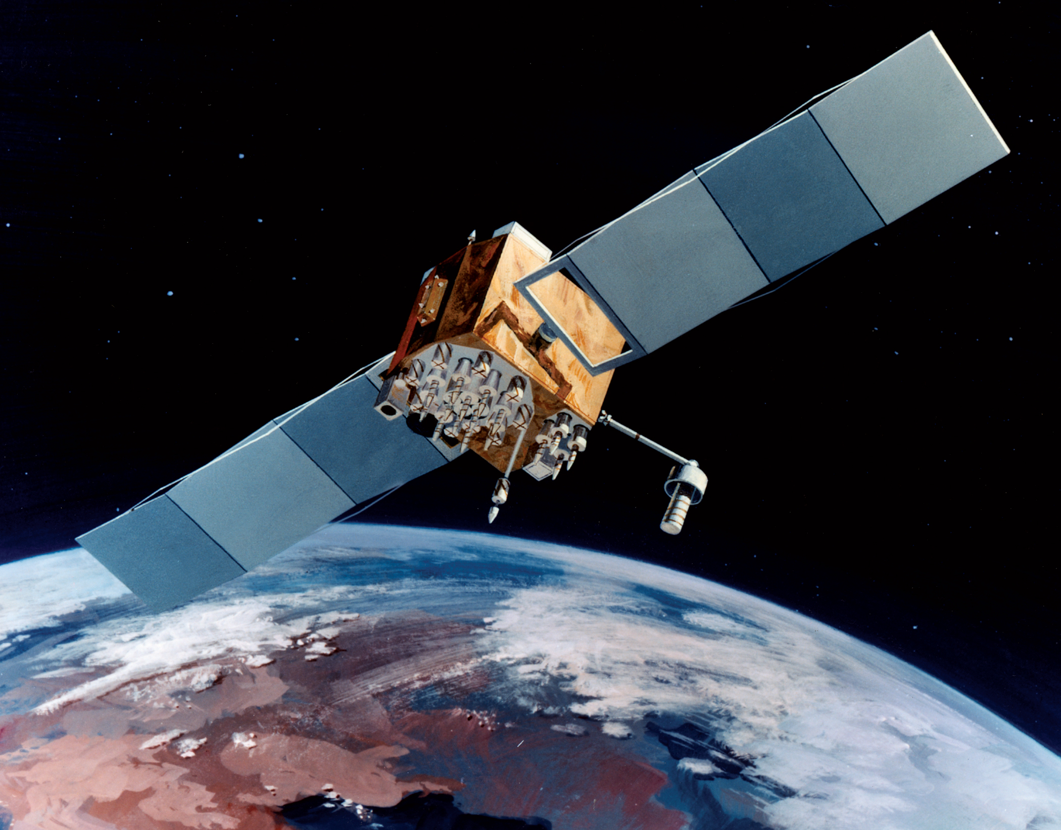
Military
- Provide precise location information on units
- Allow for long-range use of weaponry
- Navigation information in difficult terrain
- Reduce friendly fire
Mining
- Automated machine guidance for open-pit digging
- Improve drilling accuracy
- Fleet management
- Surveying
- Improve productivity overall
Public Safety & Disaster Relief
- Deliver aid faster and more accurately
- Provide mapping of effected regions
- Flood/disaster area prediction
- Positional information of civilians during disasters
Rail
- Prevent rail switch errors, collisions, derailments, etc
- Provide more accurate schedule information
- Allow for automated track surveys and inspections
- Synchronize time for communication systems between locomotives, dispatch, etc
Recreation
- Provide information for outdoor enthusiasts to navigate to and from their camps
- Provide precise locations for golfing, skiing, and any number of other activities
- Location tracking for people, pets, and important items
- Entertainment, including geocaching and applications like Pokemon GO
- SOS capabilities
Roads & Highways
- Navigation information to and from any destination
- Track mass transit systems and provide info to passengers
- Increased accuracy and efficency in road surveying
Space
- Provide precision positioning with minimum ground control
- Control constellations
- Allow for precise constellation formations to improve efficiency
- Provide alternative to atomic clocks
Surveying & Mapping
- Accurately map physical features, distances, etc to within a centimeter
- Speedier map updates
Timing
- Widespread availability of atomic clock time for the most accurate time
- Synchronization of communication systems, power grids, financial networks, and critical infrastructure
- Efficient use of limited radio spectrum by wireless networks
- Digital broadcast radio synchronization for faster tuning
- Creation of traceable time tags for financial transactions and billing (time stamps)
- Weather reporting synchronization
As you can see, GPS is absolutely critical for way more than just finding your way around. Without GPS, dozens of different systems would be far less efficient and, in the cases of a few, completely crippled.
