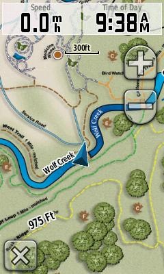
 Garmin has added support for custom raster imagery to the Colorado, Dakota and Oregon product lines. This will allow you to add aerial photos, USGS topo maps, etc. to your device. You’ll need the latest beta firmware for the units (betas have not been posted for all units yet), but the process is laid out in this post. Basically, you create an image overlay in Google Earth as a .kmz file and transfer it to your unit.
I’m heading out into the field later today and will try to load a U.S. Forest Service topo quad, if Garmin posts a beta for the Oregon 400t this morning.
Scott at GPS Fix has more details, including beta firmware links.
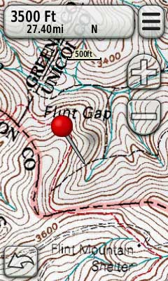
UPDATE: Here’s the Oregon 400t beta firmware link and a screenshot from the USFS topo map I did this morning:


This sounds fun!
Oh it is. The only problem is that I’m going to want to make a custom map before every outing!
Fiz uma imagem raster no softer surfer, juntando várias imagens do google earth. Gostaria de saber como faço para colocar essa imagem raster no gps map garmin 525S. Grato pela atenção. Agradeceria se você me respondesse por e-mail.
I made a raster image in softer surfer, joining several images of google earth. I wonder how do I put that image in raster map gps garmin 525S. Grateful for the attention. I would appreciate if you answer me by e-mail.
AFAIK, it does not work on the 525S. Only on Colorado, Oregon and Dakota handhelds with the latest beta firmware installed.
Thanks, Rich Owings! Good job…