A group of researchers and artists have created what they are calling “satellite lamps” in order to visualize technologies that are normally not visible to the naked eye. They have a pretty indepth website explaining the process in flowery and vaguely abstract terms. If you want to read it, you can check it out here, but personally I wouldn’t bother sifting through all of that. I’ll break their huge website and project down for you in a paragraph.
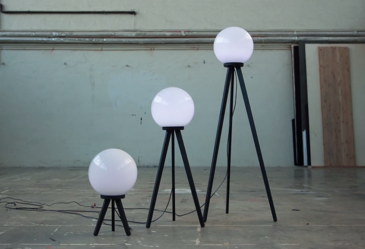
Basically, the team used GPS receivers attached to lamps that are designed to glow brighter when the GPS signals are stronger. I could wax poetic about how the project is meant to bring perspective and scope and understanding and all kinds of stuff, but honestly, it really doesn’t. Its mostly just people dragging these kind of retro-looking lamps around outside in an elapsed video. Then you get to watch the light bulbs light up and die like fireflies over time. It’s kind of interesting but I don’t feel like anyone who doesn’t already know what GPS is would really benefit from it.
Regardless, I suppose the video is kind of cool, and if you want to check it out, I’ve embedded it below. The idea of making something like GPS visual in order to help the general public understand it is quite a commendable goal. Personally, I’m not sure lamps are really the best way to do that, but hey… worth a shot, right? And, of all the ways to make it visual, I suppose light is probably better than a picture or a diagram (which is what most sites use when trying to explain GPS), as you can see it fluctuate along with the signal. But still… I don’t know that I’m convinced.
Watch the video and let me know what you think in the comments! Definitely artsy, but does it help visualize how GPS signals work?
