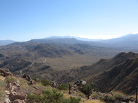
I’ve posted several PhotoFusion pages from the recent Southern California desert trip my wife and I took. Check this link out for more on geocoded photos, including how to use the PhotoFusion pages. Here are the links along with the .gpx files for anyone interested:
- Palm Canyon (PhotoFusion page)
- Download palm_canyon.gpx
- Thomas Mountain (PhotoFusion page)
- Download thomas_mountain.gpx
- Goat Trails (PhotoFusion page)
- Download goat_trails.gpx
- Anza Borrego (PhotoFusion page)
- Download anza_borrego.gpx
Oh yeah, if you want the whole trip report, I’ve posted it over on the SoCal Mtbr.com board.
