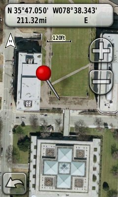
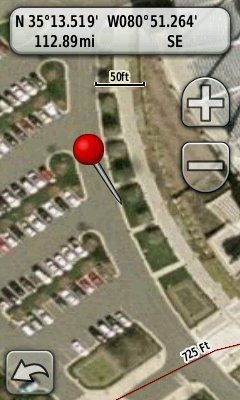
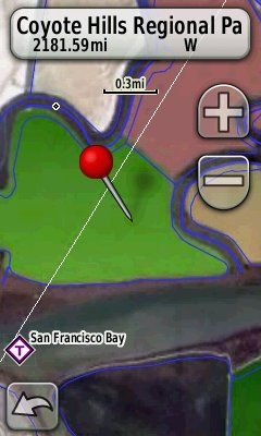
 I didn’t think this would take long. Some of the more technically adept GPS enthusiasts among us have put together some great tools for creating custom maps for the latest generation of Garmin handhelds. Here are two new ones released in the last day or so. Both allow you to create maps without manually calibrating them in Google Earth.
G-Raster
Created by Lester Pawlowicz of Free Geography Tools, G-Raster allows you to create maps from imagery freely available online. The following formats are supported:
- GeoTIFF
- MrSID
- NOAA BSB (.kap)
- ERDAS (.img)
- USA PhotoMaps Big JPEG
- UTM world file images
- World file images for other coordinate systems
TopoFusion
One of my favorite mapping programs, TopoFusion, has a new beta for registered Pro users, that allows for easy export of any of the imagery you can view in TopoFusion. This includes:
- USGS topos (to 2 meters/pixel)
- Landsat (to 15 meters/pixel)
- Color aerial (to < 1 meter/pixel)
- B/W aerials (DOQQ; to 1 meter/pixel)
- Urban aerials (to 0.25 meter/pixel)
- Australian topos (about 6 meters/pixel)
- Canadian topos (about 6 meters/pixel)
A cautionary tale
This past weekend I loaded a large .kmz file to my Oregon 400t and bricked it. I was able to recover it using this technique (the second one) posted by GPS Fix. So remember, the Garmin firmware release is a beta. Leszek suggests loading .kmz custom maps to a micro-SD card; that way you can just pull the card if anything goes wrong. Sage advice, indeed!


MAPC2MAPC is a free tool for creating Garmin Custom Maps from a number of different calibration files (.map, .cal, .jpr, .imp, .tfw) and images (.png, .jpg, .tif). Many datums are supported and the map can be rotated away from North-South alignment. You can choose the tile size and deselect individual tiles if needed.
Thanks John! Some folks won’t know to click on your name for the link, so here it is:
http://www.the-thorns.org.uk/mapping/
Hey Rich,
Perhaps I’m mouse-impaired, but I find it frustrating stretching, rotating, and sliding an image around so that it works as an overlay in Google Earth. Is there software that will let me just georefernce a few points in the image? Or do you have advice on making it easier in Google Earth?
Yes, TopoFusion will, but it’s not free. I’ve struggled with Google Earth too, and don’t use it for the very reasons you cited.
Another reason to get TopoFusion I guess
MAPC2MAPC will allow you to do just that. Calibrate an image with at least 3 points, change preferences to tile size 1024×1024 and enable ‘advanced Garmin tile control’. There is a tutorial at http://www.the-thorns.org.uk/mapping/calibrating.pdf It is safer to save the calibrations and then reload them before writing the Garmin Map in case you need to adjust them. If the map is calibrated already then the Garmin map will be created in a couple of minutes.
Thanks John.
Do not currently own a Garmin, however, will be purchasing one.
I’ve been messing with the TopoFusion demo. If the Pro version is purchased does the entire program upload to the Garmin. Or do you load specified areas of the program?
thanks
You can select small areas to upload if you have a Garmin Colorado, Dakota, or Oregon. These are raster maps (image files) that take up a huge amount of memory. For large areas you should use vector maps. Many free ones can be found at http://gpsfiledepot.com
Feel free to follow up with more questions.
At the risk of ‘splitting hairs’ I don’t think space is the problem with raster maps. The problem is Garmin’s limit of 100 ’tiles’. I have built custom maps with 90+ tiles that take around 20Mb – nothing in the context of the sizes of SD cards. One major advantage of raster maps it that they can be used by other tools such as OZI, GPSU etc – and, of course, the ability to scan your own maps.
Good point. And yes, I was oversimplifying.