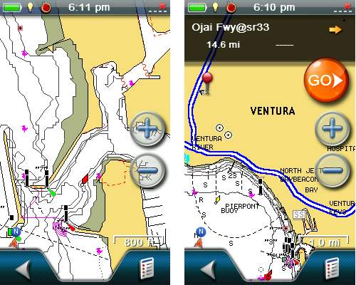
 Magellan has announced a new partnership with Navionics, allowing Magellan eXplorist 510, 610 and 710 owners to load marine, lake and fishing charts to their devices.
That’s about all this landlubber has to say on the subject; click here for the full news release.


looking to download westcoast southafrica sea maps on my tomtom car gps if i can how and were thanks
Don’t think there is any such thing for TomTom.