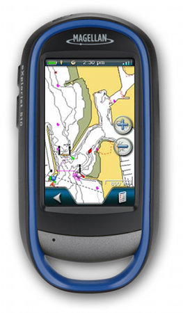
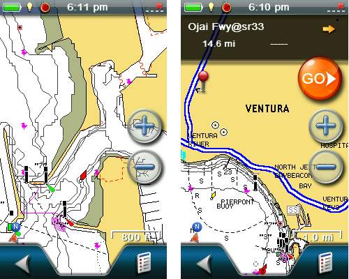
 Looks like Magellan is trying to carve out a new niche with boaters. Following Monday’s announcement of two Angler editions of the eXplorist line, they’ve now announced the Magellan eXplorist 510 Marine Edition, which includes U.S. coastal coverage up to two miles offshore, with data on 5-foot contours, tides, currents, wrecks, port plans, marsh areas, and marine services. And just in case you spend time both offshore and on inland waters, 12,000 US lakes are charted for you too.
Magellan eXplorist 510 Marine Edition announced
July 11, 2012 By Leave a Comment
Navionics marine charts heading to Magellan eXplorist handhelds
June 14, 2011 By 2 Comments
 Magellan has announced a new partnership with Navionics, allowing Magellan eXplorist 510, 610 and 710 owners to load marine, lake and fishing charts to their devices.
