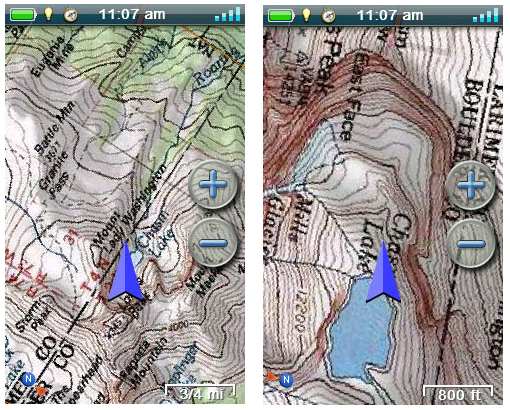
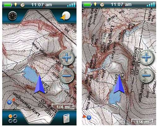
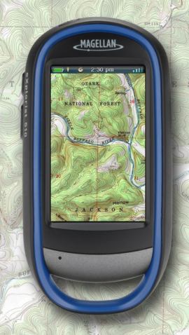
 UPDATE: Here’s my hands on review of National Geographic topo maps for Magellan receivers.
Magellan has extended their ongoing partnership with National Geographic, bringing USGS raster topo imagery to the eXplorist line. Just like Garmin’s BirdsEye Topo, this will be a subscription option running $29.99 per year.
Compatible with the eXplorist 310, 510, 610 and 710, the topo maps wil be managed and transferred using their VantagePoint software.  The new maps will complement their Digital Globe satellite imagerysubscription program. And in a smart move, Magellan will also be offering some eXplorist models bundled with the maps.

Here’s the full news release.


I don’t want to steal the light for eXplorist, but National Geographic sent out a patch for its new states topo software that can also be export topo maps to the Oregon, and Colorado series
Version 4.5.0? I think that just adds some support for transferring waypoints, etc., and doesn’t allow the export of custom maps.
Okay, but what stated on NatGeo site:
“Now fixes Triton export issues on Windows 7 ! Our latest release for Triton and non-Triton owners alike. It’s available as a free upgrade for anyone running version 4.0 or later. This update adds support for the new Garmin Colorado, Oregon, Nuvi, and Edge GPS devices, as well as the Magellan Triton series. ”
is a bit misleading. I thought the software would already support Garmin’s unit even though Garmin unit does use NatGeo’s topos. Garmin probably will not allow their units to support NatGeo’s map they would probably lose a lot money for their maps…
It did already provide some support, but it’s probably a bit better now. I don’t think Garmin can really control who can send maps to their products, as TopoFusion and ExpertGPS both do it, although NG would probably want some sort of formal agreement before going down that path. And you’re right – Garmin probably has no interest in that.
I have an Explorist 310 which allowed me to download from Vantage Point onto my unit…until this year. I paid for a new subscription to NatGeoTOPO last September but no maps appear from which I can select and download anything. All I get is the map selection box but no maps display behind it. All that I see is a pale green background. I have contacted Magellan via e-mail and via Chat on several occasions, but still no maps. I have been offered a refund…but I just want the maps! I would pay the difference between the current amount that I paid, say, another $20 to get the Summit Series Northwest in place of having no map downloads at all. I never get a response to four ticket numbers from Magellan. Please help me! Our Scout Troops will very soon be doing trail hikes and I do need the maps; I am their Commissioner!