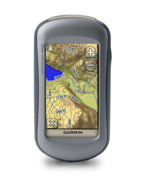
UPDATE: Read my hands-on Garmin Oregon 400t review. I’ve also posted Garmin Oregon 200 and Oregon 300 pages.
Okay boys and girls, we’ve got Garmin Oregon photos for ya. As you can see from the Garmin Oregon 400t image above, they really mean it when they say touch-screen, because there aren’t many buttons on this thing.
Here’s what we know right now… All five units are slated for availability during the 3rd quarter, in plenty of time for you to show them off to family at the holidays. All have micro-SD card slots and are powered by two AA batteries. NiMH or Lithium batteries are recommended.
They pretty much mimic the Colorado line in terms of maps, the exception being the 200, which just has a "basemap," as opposed to the 300’s worldwide basemap with shaded relief. The 200 has limited memory (24MB), and the "share wirelessly," barometric altimeter and electronic compass features are left out of this model. No word yet on whether we’ll see a Colorado 200.
None of the units appear to feature Garmin’s new 1:24,000 scale topo maps. Hmm, I can foresee a Colorado and Oregon 500t or 600t that will have those maps pre-loaded. UPDATE: Two different retailers have confirmed that the Oregon 400t comes with 1:100K maps.
More details and links, then some pics:
- Oregon 200 – Simple basemap, no pre-loaded detailed maps, $ 479.99 USD
- Oregon 300 – Worldwide basemap with shaded relief, no pre-loaded detailed maps, $ 533.32 USD
- Oregon 400c – Built-in BlueChart® g2 coastal charts and a worldwide basemap with imagery, $ 639.99 USD
- Oregon 400i – Built-in U.S. Inland Lakes and a worldwide basemap with imagery, $ 639.99 USD
- Oregon 400t – Preloaded U.S. topographic maps, 3-D map view and a built-in worldwide basemap with shaded relief, $ 639.99 USD

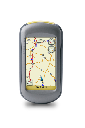
Garmin Oregon 200 (above)
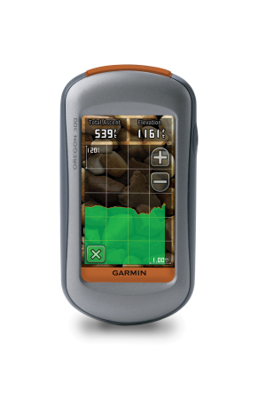
Garmin Oregon 300
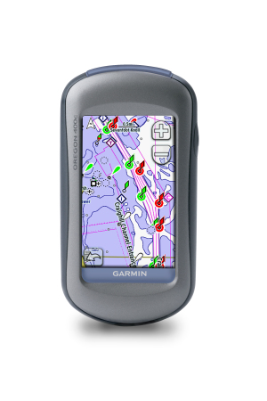
Garmin Oregon 400c
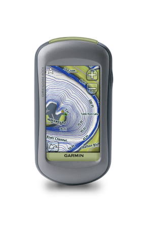
Garmin Oregon 400i
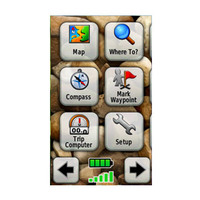
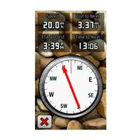
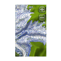
UPDATE: There is a Garmin Oregon mini-site up. Here are the main menu screens from it (click on the image for a closer look). And in case you can’t get a good enough look at the backside from their quick Flash video, I’m including a screen capture of it.
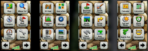


There’s something called the Track Manager in the screen shots on the mini-site. Let’s hope that offers some improvements over the Colorado’s weak handling of tracks, which oddly handles tracks under the WhereTo? menu.
GO$Rs
gpscity.com just sent and email. Expected availability is 8/1 and the 400t is advertised with 100k topo maps.
Good catch on the Track Manager. We can only hope.
i’m curious how the touch screen works with dirty muddy wet gloved fingertips.
After getting my hands on one of these, I really like the form factor an the UI, the deal breaker is: can I get the 1:24 000 series USGS maps on it? I’m ready to upgrade from my eTrex Vista but have to have to be able to add those maps.
You can put vector 1:24K scale maps on it, but they won’t look like USGS maps. There are free ones (http://www.gpsfiledepot.com/maps/) and Garmin is introducing them too (http://www8.garmin.com/cartography/topo/topous24kcard.jsp).