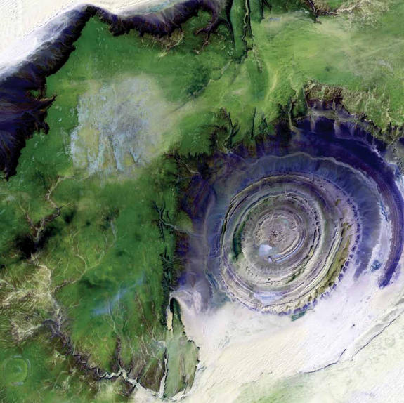
Richat Structure, an eroded volcanic dome in Mauritania, captured in this Landsat 7 image from 2001
There’s no GPS focus to this post, but I know a lot of our readers are into geography and satellite imagery, and I just couldn’t pass this up. NASA has published The Earth as Art, available in hardcover, and as an eBook and iPad app (the latter two are available for free).
From the intro:
In 1960, the United States put its first Earth-observing environmental satellite into orbit around the planet. Over the decades, these satellites have provided invaluable information, and the vantage point of space has provided new perspectives on Earth. This book celebrates Earth’s aesthetic beauty in the patterns, shapes, colors, and textures of the land, oceans, ice, and atmosphere. Earth-observing environmental satellites can measure outside the visible range of light, so these images show more than what is visible to the naked eye. The beauty of Earth is clear, and the artistry ranges from the surreal to the sublime. Truly, by escaping Earth’s gravity we discovered its attraction.
I may have touched on this before, in my weekly link roundups, but after looking through the app this weekend, I thought it warranted it’s own post.
The eBook imagery is arranged in alphabetical order, while the iPad app groups images by region. The latter also offers a chart showing which images came from which satellites. Detailed descriptions are included for each image as well.
Check it out!
Via NPR
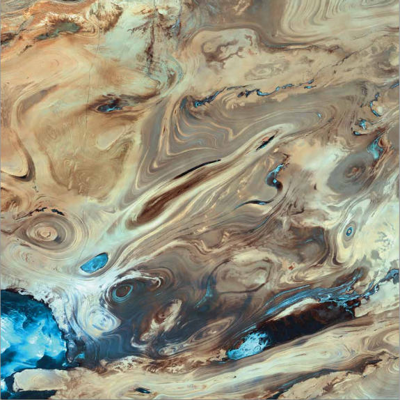
The Great Salt Desert, Iran, shown in this 2000 Landsat 7 image
