Sunday, March 18, 2012

Australia to Test SBAS Positioning Technology

australia_satellite_plane

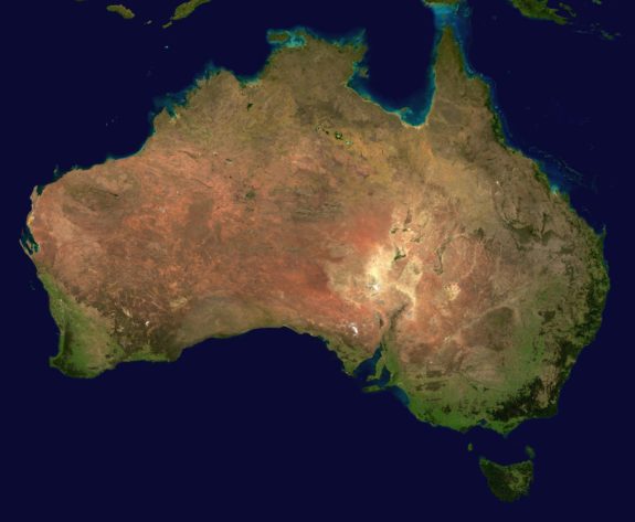
The Australian government announced last week that it intends to invest around $12 million in a two-year program to help improve global satellite positioning in the country. The funding will go towards testing the use of satellite-based augmentation systems (SBAS) in the country. These systems are designed to provide instant, accurate positioning when combined with navigational satellite constellations.

We wrote previously about how Australia has historically had some minor accuracy issues with GPS, and even had to issue a correction late last year to account for inaccurate coordinates due to drifting. This project represents Australia’s first foray into the satellite positioning sector, and it has the potential to provide quite a few benefits to the country, and will be available for civilians as well as military and commercial organizations.
read more

GPS, Galileo to Work Together For Airliner Navigation

airplane

If there’s one thing that never fails to make people sit up, pay attention, and finally work together, it has to be air travel and safety. In 1983, President Reagan opened up GPS for civilian use after the Korean Air Lines Flight 007 was shot down when it strayed into Soviet airspace. Then, in 2000, GPS accuracy was increased as President Clinton ended Selective Availability. Now, it looks like the aviation community may get yet another tech bump in the near future.

According to the Wall Street Journal, the United States and the European Union have agreed to work together to allow aircraft to access both GPS and the yet-unfinished Galileo signals, providing better and more accurate navigational information. With this initiative, each system would be working as a backup for the other, providing more protection against hacking, jamming, spoofing, and other similar threats.

read more

Galileo Set To Go Live Thursday, December 15, 2016

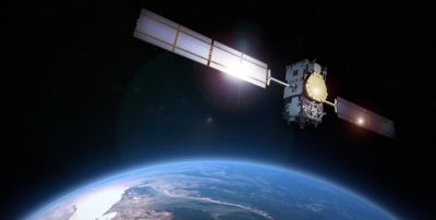
galileo-satellite

Although it has undergone numerous setbacks, launch miscalculations, and is over budget by more than 8 billion euro, it looks like Europe’s Galileo satellite constellation is finally complete enough to begin sending out signals. In fact, according to GPS Daily, the constellation is set to begin transmitting as soon as tomorrow, December 15, 2016, and it’s been a long time in coming.

This project has been in progress for at least 17 years and cost European taxpayers an estimated 10 billion euros ($11 billion) although it was originally expected to cost around 1.8 billion Euros. Of course, the numerous errors, including launching two satellites into the wrong orbit in 2014, caused the entire program to take nearly twice as long as initially intended.
read more

Australia’s GPS Coordinates Are Off Due to Drifting


australia_satellite_plane

Anyone who passed seventh grade could probably tell you that all the continents on Earth are not as stable as they seem. In reality, there are several tectonic plates which sort of move around on top of the upper mantle of the planet. That’s basic science. But, what most people probably haven’t considered is how that effects your GPS coordinates.

According to the National Geographic and the New York Times, Australia is actually moving around at such a rapid pace that the coordinates need to be adjusted before the end of the year. Since the last adjustment in 1994, the continent has moved 4.9 feet. That might not sound like a lot, but with more and more companies investing in precision GPS satellites that use that information, five feet is a big deal.  read more

GAGAN Redefines Navigation over India

300px-indian_space_research_organisation_logo-svg

India’s GPS-aided Geo Augmented Navigation System, also known as GAGAN, is trying to make big moves. The developers, Indian Space Research Organization (ISRO) and the Airport Authority of India (AAI) have nothing but pride for it, and the Indian government has announced plans to make GAGAN receivers mandatory for all aircraft that passes through Indian airspace by May of 2019.

For those of you who are confused, GAGAN is a satellite-based augmentation system (SBAS) specific to India. India is the 4th country to create an SBAS system (behind the USA, Japan, and Europe) and it will inter-operate with existing systems. GAGAN uses technology that relays data from GPS satellites, augmented satellites, and about 15 reference stations on the ground. read more

Military Looking at Foreign GNSS Capability

satelliteconstellation

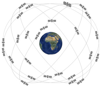
While the United States’ GPS system was the first complete navigation constellation in the world and has provided millions of people with location information with increasing levels of accuracy, it is by far the only system available. I write a lot about Galileo and GLONASS–the two more popular GPS alternatives–but there are countless other countries that have their own regional satellites or partially-finished programs as well. And while GPS is still the most widely used system in many parts of the world, it’s a no-brainer that the more satellites a unit can see, the more accurate the positioning will be.

There are a handful of units that utilize both GPS and GLONASS–the only two fully completed worldwide constellations–and the accuracy is greatly improved. Just imagine if Galileo, once completed, was also incorporated. But, while Europe’s constellation isn’t yet complete and cooperation among the various global systems isn’t very high, Inside GNSS reported recently that the US military is currently looking into incorporating signals from international satellite systems for increased accuracy. read more

Galileo Now Has 10 Satellites in Orbit

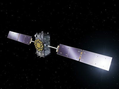
galileo satellite

The European Space Agency successfully launched two new Galileo satellites into orbit last Friday from Europe’s Spaceport in French Guiana. The two satellites took off at around 2:08 GMT on September 11 and were numbers 9 and 10 in the constellation. This most recent launch is the second of four launches scheduled for 2015 and brought the total number of Galileo satellites in orbit to ten. read more

China Launches Two BeiDou Satellites

Beidou logo Dec 2012 web

Last weekend, China successfully launched two new navigational satellites for its BeiDou Navigational Satellite System (BDS). The second successful launch this year, these two satellites will become the 18th and 19th satellites in the navigational constellation. The satellites were launched from the Xichang Satellite Launch Center in southern China on Saturday. read more

GPS Satellite Successfully Launched Yesterday

photo: ULA

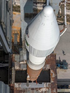
photo by ULA | Atlas V Rocket

The United Launch Alliance (ULA) is slowly but surely working towards upgrading the GPS constellation with yesterday’s successful launch of a new GPS IIF satellite. This $245 million satellite is the 10th in the IIF series and will replace a 19-year-old satellite that was past its life-expectancy. read more

ESA Releases Paper on Recovered Galileo Satellites

galileo satellite

Last August, the European Space Agency (ESA) launched two Galileo satellites into the wrong orbit. It made a lot of news because they weren’t just a little bit off–the satellites were roughly 2,000 miles off target. Talk about an ‘oops’ moment. Here at GPS Tracklog, we followed the developments as they happened, so you probably remember that both satellites were eventually successfully maneuvered to slightly better orbits.

I have to admit that I read a lot more about the satellites than I actually wrote about here on the blog. At the time, the only information was available about the incorrect orbits was likely literally written by rocket scientists, and finding ways to translate (and even understand) exactly what was happening was a little challenging. So, now that everything is mostly in the clear, the ESA has released a document explaining in non-rocket science terms exactly what happened and how it was fixed. read more