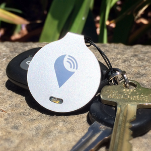
TrackR is one of the more recent GPS Trackables that has received overwhelming recent public support.
I write about new GPS tracking devices a lot because there is always a new device to track your dog/cat/car/kids/employee/hike/fitness/grandparent/spouse/business…. there’s a tracker for pretty much everything. The trackables market is exploding and making no apologies as every company tries to shout louder that THEIR product is fast, free, reliable, expansive, inclusive, private, secure and provides relief for anxiety, added safety, convenience or simplicity to your life. And, well, maybe they do. Only time will tell which devices get enough support to work and which simply fall by the wayside. One thing that is becoming quite clear is that the market is only going to continue to get bigger. read more