Sunday, March 18, 2012

Russia, China Partner to Expand New GNSS

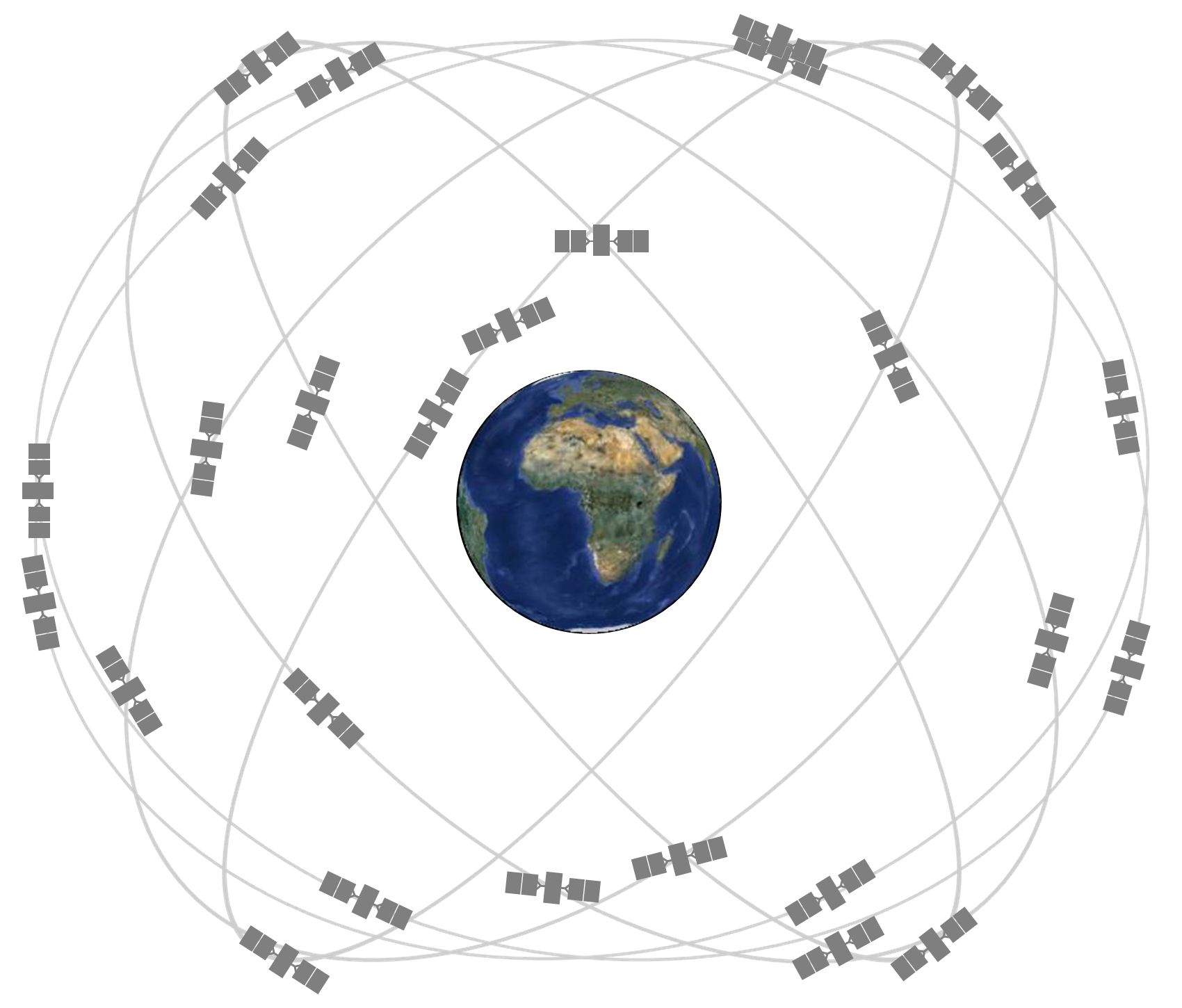
satelliteconstellation

Yesterday it was announced that Russia and China have finished negotiations and have agreed to let the other build stations in their countries to expand Russia’s GLONASS and China’s BeiDou satellite system. The agreement will help expand both networks and increase flight navigation security and overall precision. According to an article posted on Voice of Russia, this cooperation will also allow for system integration between GLONASS, BeiDou and GPS.

“We have agreed to cooperate on several pilot projects. The first one involves putting a local monitoring and correction station … [at] one Chinese airport. This navigation, landing and signal monitoring system will provide satellite navigation for flights using the zonal-navigation method, working on two constellations, GLONASS and BeiDou,” said Yevgeny Belyanko, GLONASS’ Vice President, according to an article posted on Russia Beyond the Headlines. read more
Webinar: GPS Advances Change the Surveying Industry

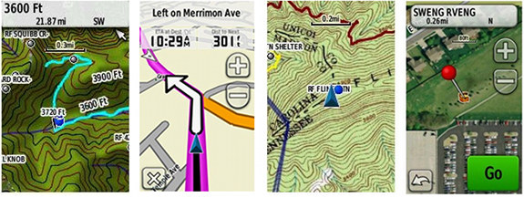
Maps for handheld Garmin GPS

With so many maps at the layman’s fingertips, where do surveyors stand?

As GPS and GNSS technology expands and becomes more and more precise and refined, it means interesting changes are coming for any in the mapping industry or the surveying industry. The New South Wales Surveying & Spacial Sciences Institute will be hosting a webinar on July 23, 2014 from 1 to 2 p.m. discussing how land surveyors and those in a similar field will need to change as the proliferation of GPS technology continues to climb upwards and how GPS and GNSS has changed how we as a culture do things.

read more

New Precision Farming Technique Uses GPS

precision-farming

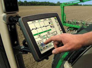
When most people think of farming, there a lot of images that immediately come to mind—animals, tractors, farm equipment—but what about drones and GPS? Precision farming has been rising in popularity over the last few years and is way  more tech-savvy than most people would expect. read more

Europe’s Galileo System Will Surpass Current GPS System

satelliteconstellation

The current GPS Satellite constellation is run by the US and features around 30 satellites.

Yesterday, the European Space Agency (ESA) announced they plan to launch their own version of satellite GPS and end Europe’s reliance on America’s GPS system. The ESA has been developing the Galileo system for several years and currently have four satellites in orbit with plans to launch the remaining 26 over the next few years. An article on the International Business Times says that the Galileo system will be nearly twice as accurate as the current GPS system in use and will be able to provide accurate location (within 100 meters) anywhere in the world in as little as 30 minutes, claiming that the current GPS system can take a minimum of 45 minutes (usually longer) to establish a similar location. The ESA website claims Galileo will be accurate within a few meters once fully operational. read more

Survey says GPS Leads a Majority of Drivers Astray

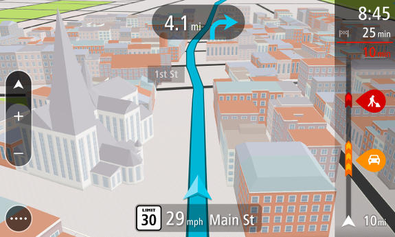
NAV4_3D_US 1-01

A study released by Michelin/Harris Interactive shows that more drivers are led astray by GPS than not. Conducted in 2013, the study stated that 63% of U.S. drivers who have used GPS say the technology has led them astray at least once by pointing them in the wrong direction or by creating complex, confusing or incorrect routes. Of the 2,200 individuals surveyed, the average times that GPS took them off track was 4.4 times. According to the survey, nearly 7% of all U.S. drivers who use GPS have been misdirected more than ten times.

So how do you avoid getting lost using GPS? And why does it happen? Great questions. Let’s take a look. read more

Study Shows When GPS is On, Your Brain Isn’t

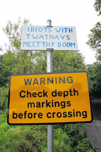
GPS ford warning

We have all heard stories of people who have nearly driven off cliffs or become hopelessly lost following wayward directions from their GPS devices, and so we began to wonder why–and it turns out we aren’t the only ones. An NPR article published last month outlines a study conducted in London testing how people made navigational choices walking through the winding streets of London’s Soho district. read more

New Book Outlines Beginning of GPS

bookA new book titled Flying for GPS published by Len Jacobson explores the beginning and development of the global positioning system and commercial air travel during his 50-year career. The book covers GPS’s evolution from large and expensive military gear to today’s tiny GPS chips located in most cell phones. Unlike many GPS chronicles, Jacobson’s book is about user equipment more than satellites and technical explanations and outlines how a system originally intended for military aircraft has become a utility of everyday life. read more

Vechicle Regulations for GPS in the Works

Auto-GPS-FAQs

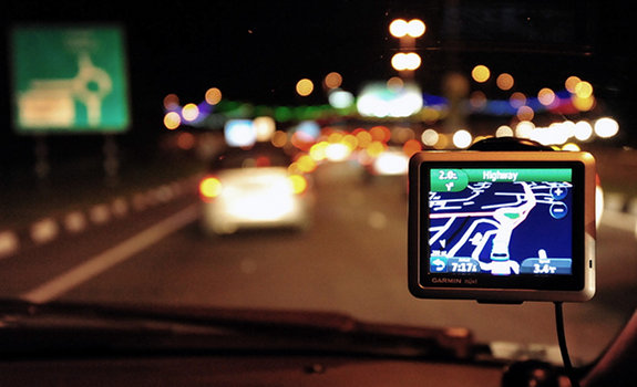
Navigating with a GPS during trips instead of an atlas has become more and more popular–but is it a risk for already-distracted drivers? As technology becomes more common, more and more people are concerned about distracted drivers becoming a danger to those around them. Phones are the usual culprit for such worries, but now the Department of Transportation has begun to point to GPS devices as well. read more

First Commercial Handheld GPS Celebrates 25 Years

Nav1000

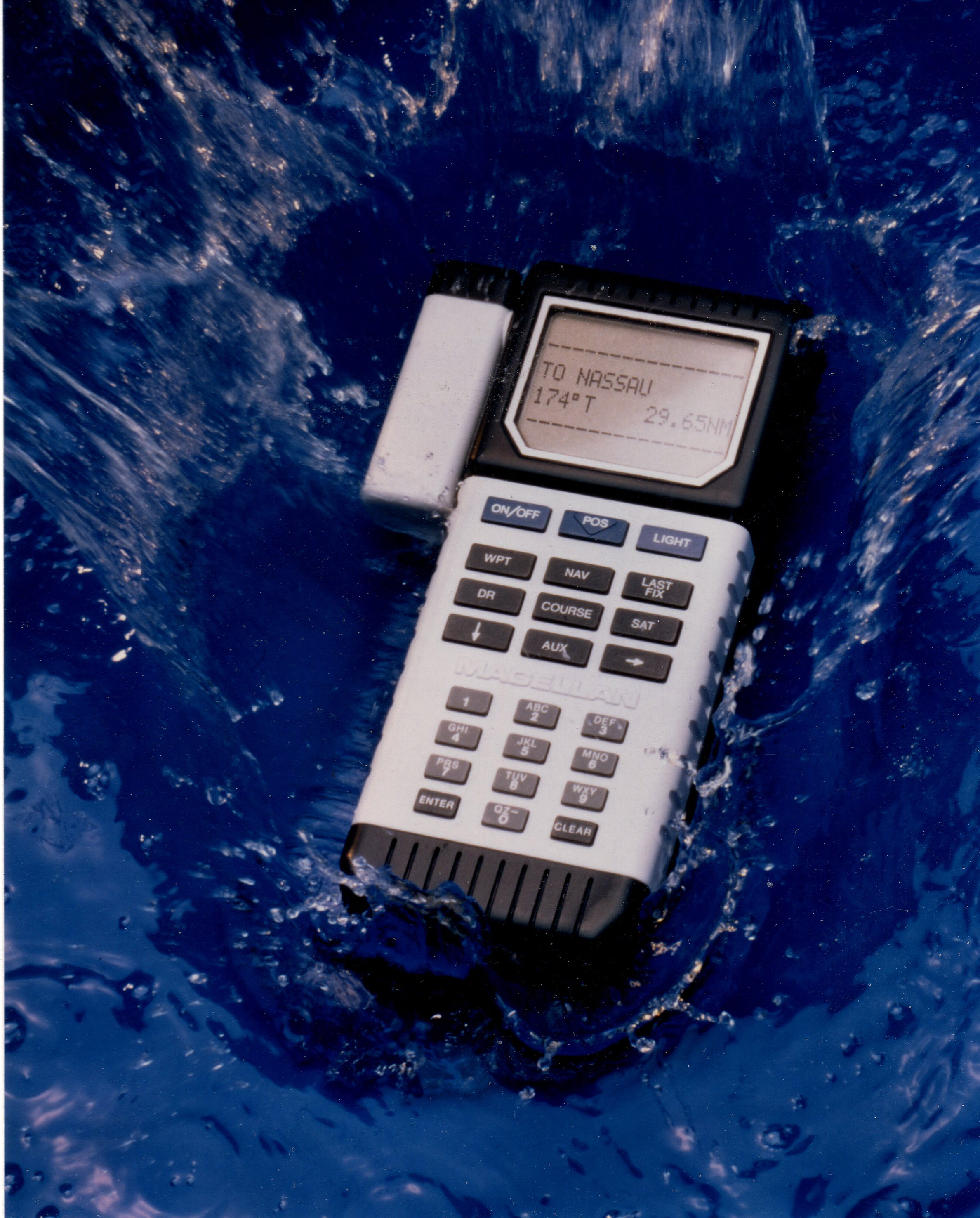
Weighing in at 1.5 lbs and taking 4 minutes to calculate latitude/longitude, this beast is currently on display at the Smithsonian National  Air and Space Museum

Twenty-five years ago this month, Magellan released the first handheld GPS available to the public. The futuristically named Nav 1000 was primarily marketed to boaters in 1989. The handheld unit measured 8.75″ x 3.5″ x 2.25″ and weighed 1.5 pounds. The device was designed to be waterproof, non-corrosive, buoyant and constructed of a durable compound to withstand shock, vibration, humidity and temperature extremes. read more

Boeing Completes Testing on New GPS Satellites

satelliteconstellation

Boeing has completed and shipped six of the 12 GPS 2F satellites to the U.S. Air Force today after on-orbit testing was completed successfully. The 2F satellites are the fourth generation of Boeing-manufactured GPS devices designed to improve GPS signal performance and accuracy worldwide. The United Launch Alliance (ULA) launched the sixth GPS 2F satellite from Florida on May 16, 2014, marking the second launch in three months. The next launch is scheduled for the third quarter of 2014. read more