Sunday, March 18, 2012

GPS & Augmented Reality Show Berlin Wall History

time traveler AR

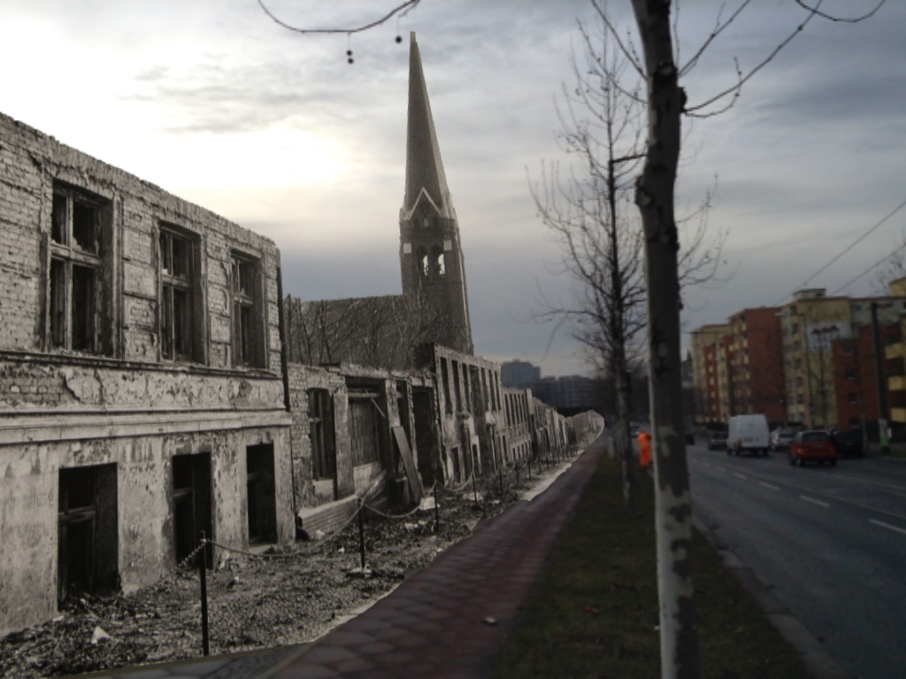
Through augmented reality, you can see what Berlin was like when the Berlin Wall was built.

There is nothing I enjoy more than seeing GPS used in unusual and creative ways. Recently, a German company has created a TimeTraveler app that allows visitors to learn about the Berlin Wall through GPS-based augmented reality. Available on both iPhone and Android devices, this cool app lets your phone act like a window to the past. read more
My GPS Made Me Do It — 900 Mile Detour

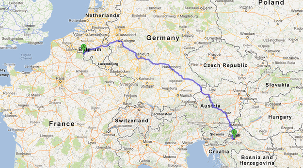
900 mile detour map

Some people just don’t have a good head for maps and distances. I’ll admit that I am guilty of that on occasion, and I frequently will question myself when driving to a new place. Did I miss it? Have I gone too far? Did I take a wrong turn? For the most part GPS has helped alleviate some of those worries—unless your GPS leads you on a 900 mile trek on accident.

For one Belgium woman, that’s exactly what happened. 67 year-old Sabine Morceau left her home in Hainault Erquelinnes, Belgium with the intent of picking up a friend who lived in Brussles—about 90 miles away. However, Morceau’s GPS got a little confused and sent her the wrong way. She drove for two days, more than 900 miles, before realizing that something was wrong. read more

This Week in GPS — Sept. 19, 2014

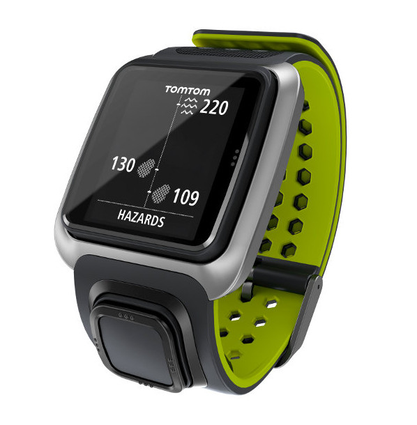
Tomtom golf watch

This week in GPS is a weekly link roundup of (mostly) GPS related odds and ends, from GPS Tracklog and other places around the Web. This week’s featured image is a leaked image of TomTom’s rumored Golf Watch, which is expected to be released later this month.

read more

NextGen GPS Air Navigation Launched in Dallas

nextgen

The airport in Dallas, Texas has a new way to route their planes today, using GPS technology. Developed by the Federal Aviation Administration, NextGen is a satellite-based navigation system that promises to get planes in the air sooner, back on the ground faster and overall make the planes more efficient on fuel consumption, pollution and more.

The program consists of a suite of 80 technology upgrades that transform the World War II era radar technology currently used to more high-tech satellite tracking. While several parts of this technology have already been in place at the Dallas/Fort Worth International Airport, Dallas Love Field will come online today. read more

My GPS Made Me Do It – Pizza Delivery Driver Stranded on Train Tracks

train GPS

GPS technology can be a wonderful tool for finding you way around, but sometimes you just have to follow your instincts and pay attention. Blindly following the calm computer voice can lead to trouble, like driving into the ocean or getting your car stuck on the train tracks–something a pizza delivery driver in Michigan likely won’t forget. read more

This Week in GPS — September 12, 2014

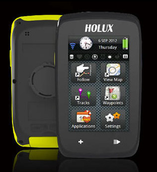
This week in GPS is a weekly link roundup of (mostly) GPS related odds and ends, from GPS Tracklog and other places around the Web. This week’s featured image is the new multipurpose GPS bike computer from Holux that was introduced this week. read more

Can You Use GPS to Avoid the Flu?

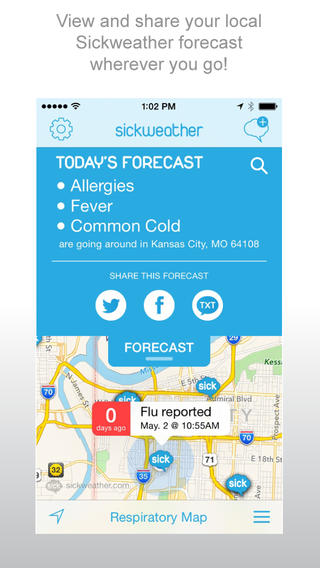
sickweather screenshotThere are all kinds of apps for your smartphone that are designed to use GPS to help improve our lives. Some of them are incredibly useful, and others…well, they are mostly just odd. Joining the ranks of odd (and slightly creepy) apps is the app Sickweather.
The idea behind Sickweather is to map out places where people are sick by scanning social media like Facebook and Twitter for people posting they aren’t feeling well, and then using GPS to see where they are. The app then puts it on a map so you can see where the sick reports are and follow trends of illnesses. That’s the idea, anyway. And while the theory sounds kind of useful, when you stop and think about it… well, it isn’t. read more

This Week in GPS — September 5, 2014

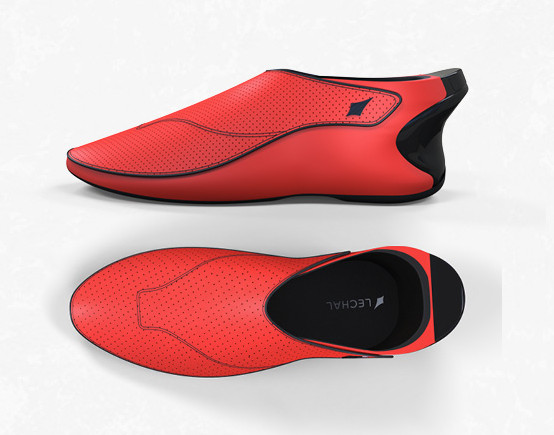
shoe-views

This week in GPS is a weekly link roundup of (mostly) GPS related odds and ends, from GPS Tracklog and other places around the Web. This week’s featured image is the Lechal, a brand of smartshoes that use google maps and vibrations to give you directions while walking. read more

Garmin nuvi 50LM Still Going Strong

Garmin-nuvi-50LM.jpg

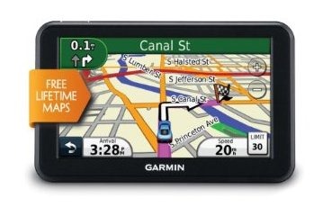
The Garmin nuvi 50LM was released in 2011 and is still one of the best entry-level GPS units available. In fact, if you do a quick search on Amazon or Google, you’ll find that it’s one of the most searched GPS units. Currently, the Garmin nuvi 50LM is ranked #96 on Amazon’s top 100 electronics. That’s 96 out of all of the electronics that Amazon sells, and it is three years old! With as fast as technology moves, that’s quite a testament to the quality of this unit. Check out our extensive hands-on review of nuvi 50LM for a preview of what to expect. read more

Garmin Introduces Foursquare to Advanced Nuvi Series

nuvi advanced series
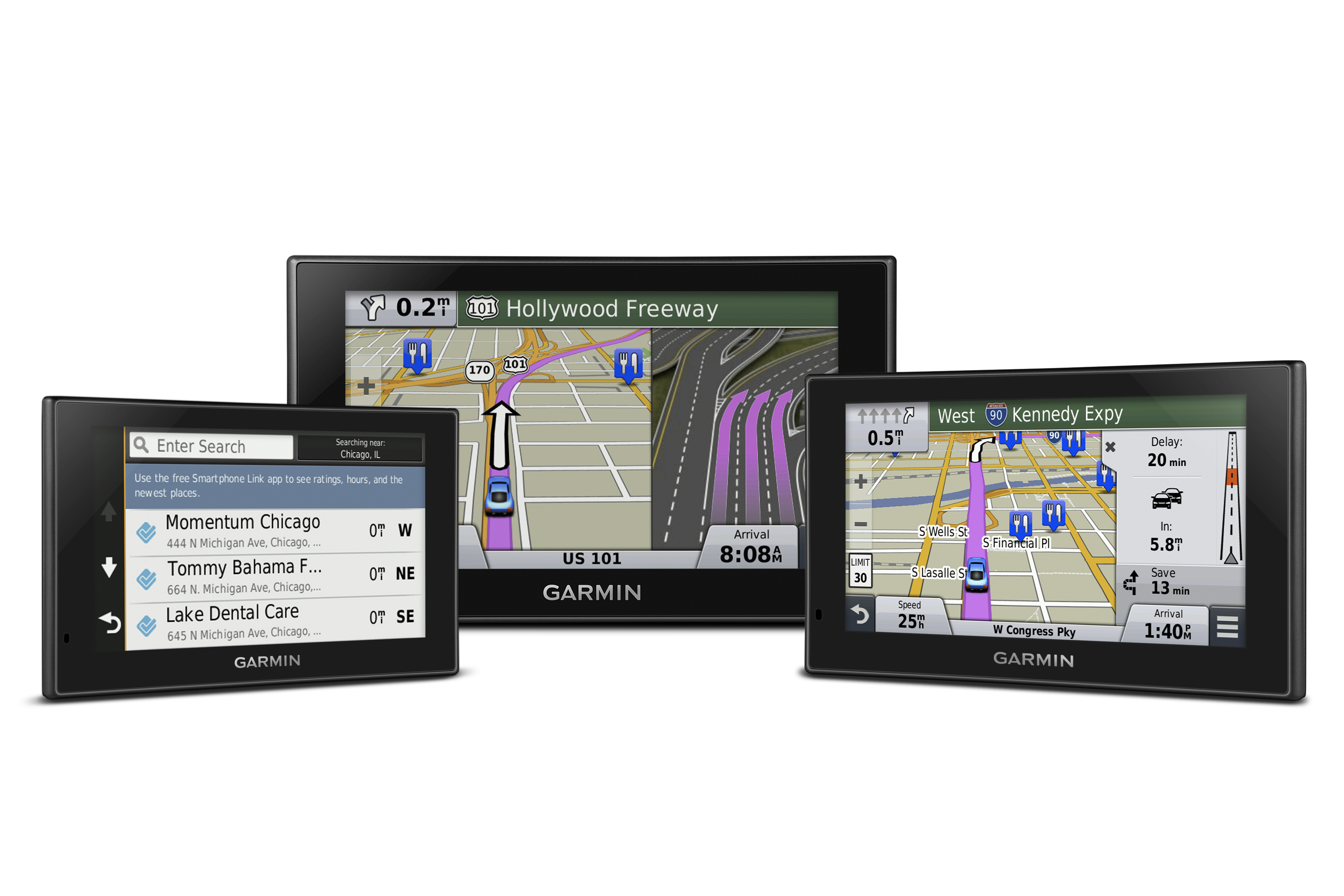
Yesterday, Garmin introduced the 2014 Nuvi Advanced Series, the first Nuvi line to come with Foursquare venues designed to help users find and explore new businesses. The new GPS devices also come with Direct Access to help navigate to complexes like malls and airports and traditional advanced Garmin features like Active Lane Guidance, Real Directions, multi-touch displays and Photo Real and Bird’s Eye Junction View. read more