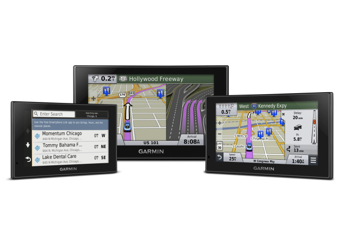
Garmin announced today that they are launching the new Connect IQ, the first open platform that will allow third-party developers to create apps for Garmin wearable products. I suspect this is an effort to compete with the recent launch of several different smartwatches, nearly all of which boast GPS capabilities. read more
PND Shipments Decline in 2013
We have talked a lot about the values of dedicated PNDs versus using a smartphone for navigation, and the general consensus was that PND is probably the better way to go. But, according to an article by GPS World, PND device shipments decreased by 6 million from 2012 to 2013. The figures come from a new research report from Berg Insight.
That same report has several rather saddening forecasts for the PND market including a projected PND shipment decline to only 10 million units in 2019. To put that in perspective, in 2013 22 million units were shipped, down from 28 million in 2012. read more
My GPS Made Me Do It — 900 Mile Detour
Some people just don’t have a good head for maps and distances. I’ll admit that I am guilty of that on occasion, and I frequently will question myself when driving to a new place. Did I miss it? Have I gone too far? Did I take a wrong turn? For the most part GPS has helped alleviate some of those worries—unless your GPS leads you on a 900 mile trek on accident.
For one Belgium woman, that’s exactly what happened. 67 year-old Sabine Morceau left her home in Hainault Erquelinnes, Belgium with the intent of picking up a friend who lived in Brussles—about 90 miles away. However, Morceau’s GPS got a little confused and sent her the wrong way. She drove for two days, more than 900 miles, before realizing that something was wrong. read more
Diagrams of Wayward Galileo Satellites Released
The ESA has released diagrams showing the intended and actual orbit of the two Galileo satellites that were launched last month into the wrong orbit. And, as you can see from the images, they’re quite a bit off. Reports indicated the satellites were nearly 2,000 miles off-target. The reason for the anomalous orbit hasn’t been formally announced yet.
NextGen GPS Air Navigation Launched in Dallas
The airport in Dallas, Texas has a new way to route their planes today, using GPS technology. Developed by the Federal Aviation Administration, NextGen is a satellite-based navigation system that promises to get planes in the air sooner, back on the ground faster and overall make the planes more efficient on fuel consumption, pollution and more.
The program consists of a suite of 80 technology upgrades that transform the World War II era radar technology currently used to more high-tech satellite tracking. While several parts of this technology have already been in place at the Dallas/Fort Worth International Airport, Dallas Love Field will come online today. read more
GPS Glasses May Help You Get Around
It’s no surprise that GPS, one of the most useful and pervasive technologies today, has been integrated in various wearables to assist with location and navigation. Today I came across two different smartglasses that use GPS in completely different ways (and no, they aren’t Googleglass). While not exactly the sort of thing we’d normally cover, I thought they both were pretty cool ideas and wanted to share.
The first glasses are the Recon Jet glasses which are designed for athletes and probably most useful to cyclists. They look kind of futuristic to me and their main draw is a HUD display projected in the righthand lens. This display can show your trip information like elevation, distance, speed, etc or…well, anything. The glasses actually have a little microcomputer, camera and microphone and they can connect to your smartphone; so presumably they could display apps or even a map of your route and navigation. The glasses do have a GPS chip along with several other sensors.
GPS Jamming Detector Testing Successful
A new GPS jamming detector has completed a series of tests in the U.K., successfully detecting and locating both stationary and moving jammers in a variety of environments. The Signal Sentry 1000 was developed by U.K. based company Exelis and was tested by the Defense Science and Technology Laboratory last month. read more
Bike+ App Does More Than GPS
A bike ride isn’t just GPS and ride statistics like distance, duration and elevation—a bike ride is about an experience. Most cycling apps and devices are so busy with the statistical data that they don’t leave time to capture the actual experience of the ride. So, world champion bikers James Mathis and Ted Huang created their own app to do just that. read more
TomTom, Jeep Partner on New Jeep Renegade
TomTom and Jeep have announced a partnership today for Jeep’s newest vehicle line, the Jeep Renegade. The Renegade line will all be outfitted with TomTom’s UConnect 5″ Radio Nav infotainment system integrated into the dashboard.
The TomTom UConnect 5″ Radio Nav offers turn-by-turn navigation, traffic information to avoid jams and work areas, and POI searches. Other features include a Help Me! emergency menu, advanced lane guidance that show realistic intersections, safety warnings when approaching schools, fuel-efficient routes, speeding alerts and more. I didn’t see any information whether or not lifetime maps comes with the purchase of a vehicle. read more
Using GPS to Create Art at the National Mall

A terresterial portrait, much like Rodriguez-Gerada’s “Expectations” shown above, will soon adorn the National Mall.
GPS technology has seen any number of applications, but starting this month it will be put to an unusual use: creating a six-acre landscape portrait at the National Mall in Washington, D.C.. The project is titled “Out of Many, One” and has been commissioned from Jorge Rodriguez-Gerada, an artist known for large-scale and terrestrial portraits, like the one of President Obama shown above. read more


