Sunday, March 18, 2012

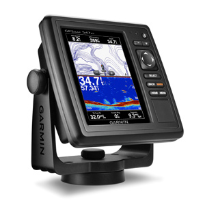
Garmin GPSMAP 547xs review

Garmin GPSMAP 547xs revew

Hands on with the Garmin GPSMAP 547xs

The Garmin GPSMAP 547xs is an all new marine chartplotter recently introduced by Garmin. The GPSMAP 547xs has a 5″ diagonal color screen and an all new look from Garmin. The traditional silver bars at the top and bottom of the case have been removed for a very stylish all black trim ring.  The major upgrade over the previous generation is wireless capability (WiFi and Bluetooth) and the sounder module was upgraded to include CHIRP technology.
read more

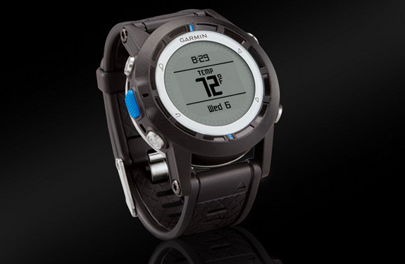
Garmin quatix marine watch unveiled

Garmin quatix marine watch

The newly announced Garmin quatix marine watch

Garmin has a history of using existing hardware platforms for multiple market segments, as seen in the Approach golf series use of the Dakota, Oregon and Edge hardware. They now appear to have taken the fenix backcountry sportswatch platform and repurposed it as a marine watch – the Garmin quatix, announced this morning. read more

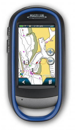
Magellan eXplorist 510 Marine Edition announced

Looks like Magellan is trying to carve out a new niche with boaters. Following Monday’s announcement of two Angler editions of the eXplorist line, they’ve now announced the Magellan eXplorist 510 Marine Edition, which includes U.S. coastal coverage up to two miles offshore, with data on 5-foot contours, tides, currents, wrecks, port plans, marsh areas, and marine services. And just in case you spend time both offshore and on inland waters, 12,000 US lakes are charted for you too.

read more

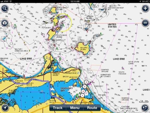
Navionics Marine & Lakes for iOS review

Hands on review of Navionics Marine & Lakes: US & Canada HD

The Navionics Marine Charting app is targeted for recreational boaters.  This app allows viewing the proprietary Navionics Nautical Vector Charts on your favorite iOS device.  Users can create routes and record tracks, which can be shared with friends using Facebook, Twitter, and email.  The routes can also can be uploaded to certain fixed mount chart plotters that might be found on a boat.  The Navionics app will function as a chart plotter displaying your position on the chart with the enabled route making it somewhat practical to use as a chart plotter while underway. read more