Sunday, March 18, 2012

U.S. Refuses to Continue GLONASS Negotiations with Russia

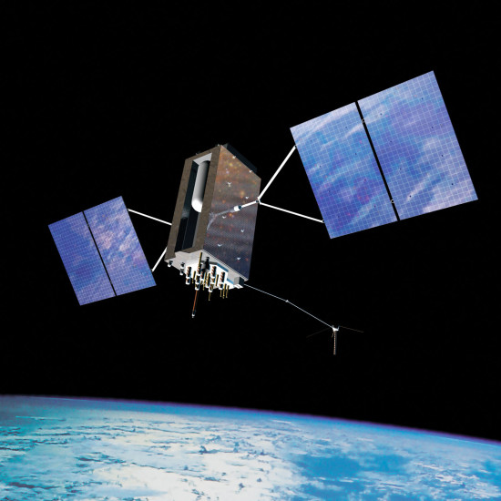
GPS Block IIIA satellite

GPSWorld reported last week that the debate over building GLONASS stations on U.S. soil is continuing. Or, rather it isn’t, as the United States reportedly has refused to negotiate with Russia on this matter. As promised, Russia has disabled military use of the GPS stations on their soil while leaving the stations working for civilian use. They, of course, have not said how they accomplished it. read more
Solar Flares from Giant Sunspot May Disrupt GPS

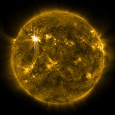
solar flares

If you live in certain parts of the world, you may have noticed some rather odd GPS readings during the last couple of weeks. Well, as it turns out, the GPS signal has been dealing with some interference from a giant and very active sunspot.

Cnet reported that the sunspot is the largest to be seen in 24 years. Code named AR 12192, this sunspot is large enough to be seen with the naked eye (provided you have proper eye protection) and has been sending out solar flares in the last couple of weeks which have disrupted radio and GPS signals several times. read more

Galileo Constellation in Trouble

GPS Block IIIA satellite

Things aren’t looking too good for the ESA as far as their Galileo constellation goes. GPS World reported last week that out of the six currently orbiting satellites, only one of them is working as expected, in the correct orbit and 100% fully operational. After the most recent incorrect deployment of two satellites, the expected operational date was pushed back from 2018 to 2020, but these reports make me wonder if it might be pushed back even further. read more

Garmin Expands FliteChart Coverage in Europe

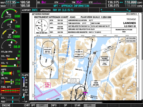
FliteChart Coverage

Garmin announced last week that they have expanded their global aviation charts to include several additional European countries. This expansion has added instrument approach charts, SIDs, STARs, ground movement charts and airport diagrams. The European FliteCharts expansion is designed to increase pilot awareness and help with approaches by conveniently overlaying the aircraft position onto the chart and providing easy to read charts and information. read more

GPS Surf Watch Coming Soon

prodBlack

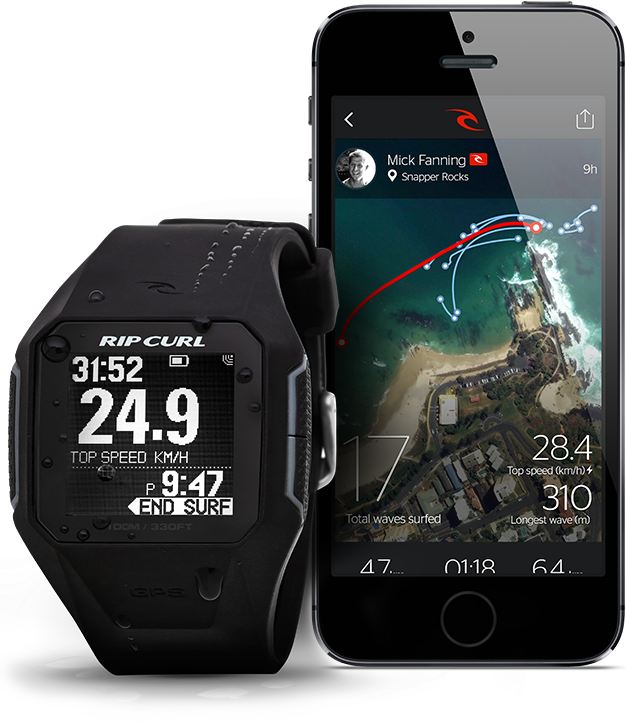
So, I have to admit I’m not much of a surfer. I don’t live near the ocean, so the idea of tracking your surfing with GPS seems a little odd to me. However, this product has had some pretty good reception, so I thought I’d take a sec to cover it anyway. The watch is basically the surfing equivalent of a GPS running watch, with tons of measurements and stats recorded and then synced to your phone. read more

New GPSMAP Series Announced

GPSMAP 7400 series

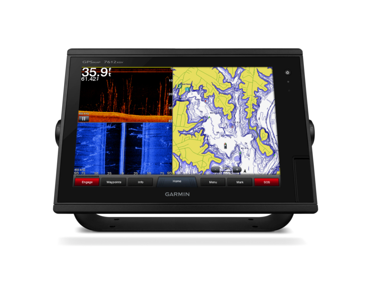
Garmin released a slew of press releases last Wednesday, announcing several new marine devices, including the new GPSMAP 7400 and 7600 series of multifunction displays (MFD). Available in a both sonar and non-sonar editions, these devices are designed to be top-of-the-line products with high performance and a range of features.

The GPSMAP 7400 and 7600 series has a pinch-to-zoom touchscreen display available in 7, 8, 10 and 12 inch full color displays. Other features include digital switching, weather, radar, thermal and IP camera visibility as well as 10 Hz GPS antenna, laylines, tidal information, enhanced wind rose, a current slider and various other boating-specific elements. All units will come with built-in wifi to easily interface with BlueChart Mobile and Garmin Helm mobile apps. read more

This Week in GPS — October 31, 2014

7534718-large

This week in GPS is a weekly link roundup of (mostly) GPS related odds and ends, from GPS Tracklog and other places around the Web. This week’s featured image is the world’s largest GPS drawing created in the United Kingdom, which happens to be just in time for Halloween! Happy Halloween everyone! Here are some other things that happened in the GPS world this week:

read more

TomTom to Use Weather to Calculate Routes

tomtom-logo_1

U.K. based navigation company TomTom announced yesterday that they will now be including weather conditions when calculating routes for driving, enabling drivers faster routes, safer travels and the ability to arrive prepared for all weather. The weather alerts will tie in with the traffic jam information that TomTom already connects, informing drivers about upcoming slow areas due to heavy rain, snow, or washed out areas. read more

Garmin Announces New ecoMAP Series

new ecoMAP series
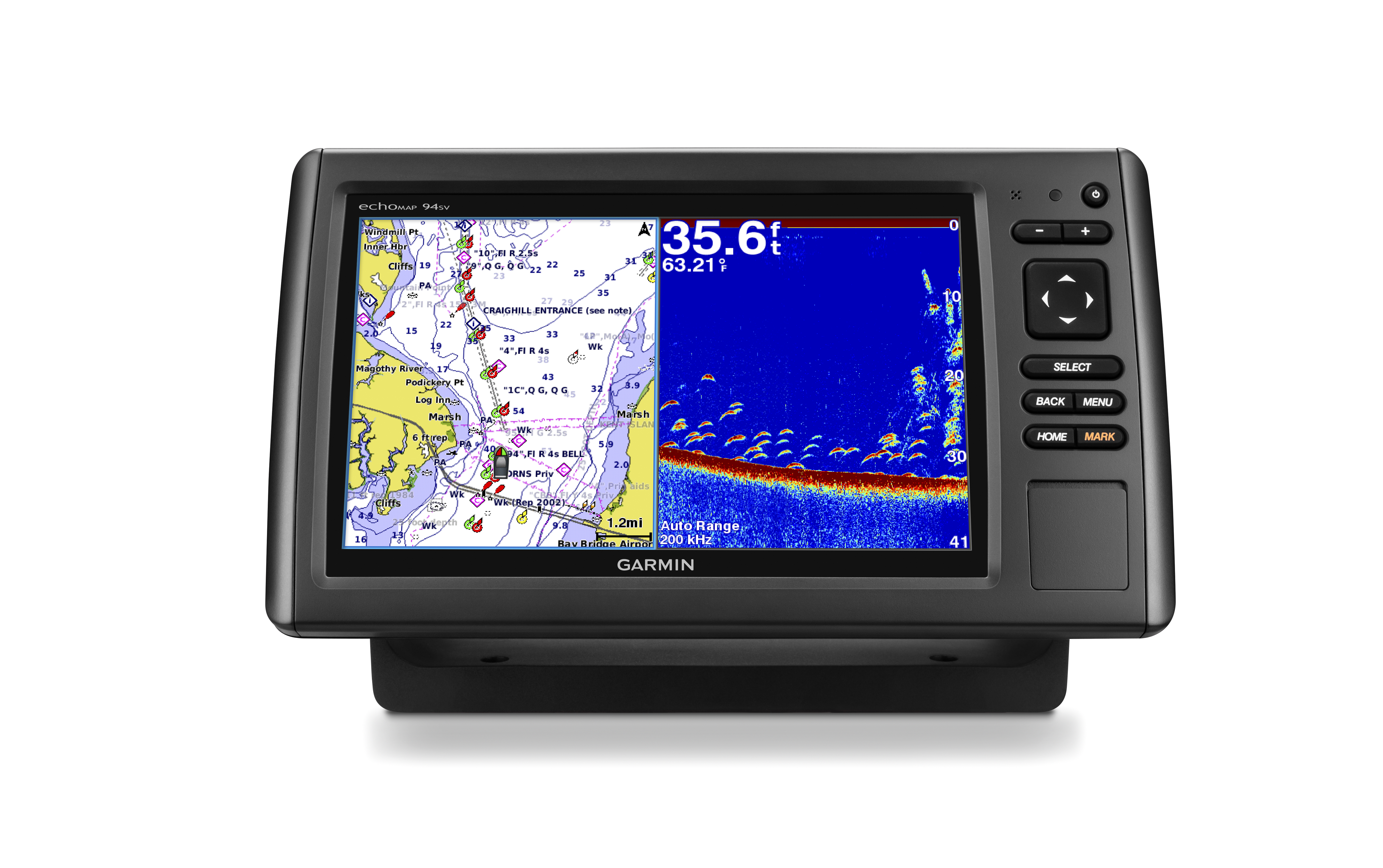
Garmin has finally released information on the next generation in the popular ecoMAP series for mariners of all types. The newest iteration of ecoMAP chartplotters will include scanning sonar capabilities without the need to purchase additional devices or mess with complicated hookups. The series will come in 4, 5, 7 and 9 inch color displays and is expected to be released in the first quarter of 2015. read more

SkyCaddie Mobile GPS App Now Available

skycaddie mobile

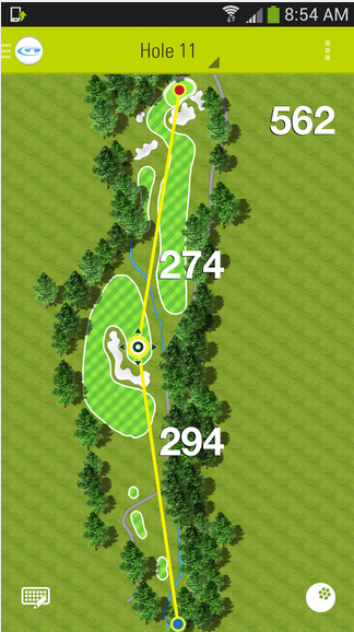
SkyGolf has announced a new mobile app designed to complement their golfing watches and other accessories. Utilizing the GPS in your phone, SkyCaddie Mobile allows golfers to search SkyGolf’s extensive library of more than 35,000 courses. The app is available for free on Android and iOS, but also has a premium version available for $30/year. The premium app includes additional features such as mapping, detailed green information, auto-hole information and various other metrics.

The free version of the app, however, has some pretty good functionality and allows golfers to score their rounds, capture basic stats, find course ratings, scorecards, dress code, prices and even includes in integrated camera function to record highlights and moments. read more