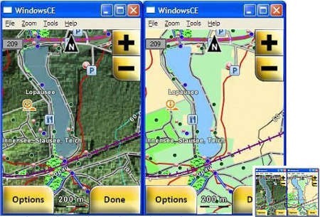
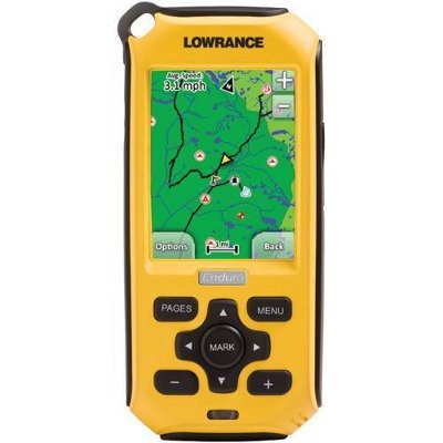
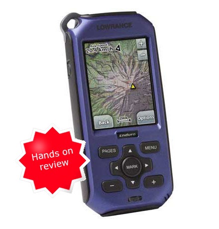
 Navico, a marine electronics company which owns Lowrance, has announced a cartography toolkit for third-party map developers. The handheld Lowrance Endura series is among those supported, and the toolkit also supports raster imagery.
Lowrance opens up to third-party map developers
Lowrance Endura Out&Back review

This review was written by Troy Bryan, AKA StarBrand on geocaching.com’s Groundspeak forums. My initial review of the Lowrance Endura Sierra wasn’t exactly glowing, so after seeing positive reports about recent firmware updates, I asked Troy if he’d post a review of his Out&Back.
I got my Lowrance Endura Out&Back just 1 day before my big summer 2009 vacation to Minnesota last August. I had been eagerly awaiting this unit after reading the specs and preordering the unit in Late May. The many delays in shipping were frustrating but I was interested in seeing what this offering could do. After opening the package and briefly reading through the included guide , I was almost immediately disappointed with several aspects of the unit. Dim screen, a bit awkward in size and quirky behavior loading up a few PQs. I dumped it my caching bag with my Oregon 200 and Colorado 300 and took it with me to give it a good workout anyway.
Lowrance Endura Sierra review
 The Lowrance Endura Sierra
 is the high-end model in the recently introduced Endura product line. It includes preloaded Accuterra™ “high-resolution” topo maps, a trails and POI database and NAVTEQ® roads for the 48 contiguous United States. Turn-by-turn routing is available as an add-on purchase. The Sierra includes a tri-axial electronic compass, barometric altimeter and 4 GB of internal memory. All three Endura models utilize a 2.7” color touchscreen.
Lowrance Endura Sierra, Safari and Outback

UPDATE: Read my Lowrance Endura Out&Back and Lowrance Endura Sierra review
Lowrance has posted details on their new Endura handheld series. Each model has a 2.7″ touch-screen and a micro-SD slot for maps. All three are scheduled to be available in May, not April as we reported this morning.
- Endura Sierra – This top of the line model (pictured at right) comes with a barometric altimeter, tri-axial compass, 4 GB of internal memory and preloaded “AccuterraTM high-resolution topographic maps, extensive outdoor trail networks and Points of Interest, as well as the NAVTEQ® road network for the contiguous 48 states with an upgrade option for full-featured turn-by-turn navigation.” (MSRP $549)
