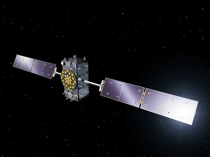
This week in GPS is a weekly link roundup of (mostly) GPS related odds and ends, from GPS Tracklog and other places around the Web. This week’s featured image is a Galileo satellite in honor of the recent successful launch which firmly brought the constellation to the one-third mark for completion. The full constellation is expected in 2020.
Here are some other things going on in the world of GPS this week: read more