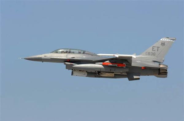
GPS Jamming could make aircraft, like this F-16 lose its heading. Photo by Raytheon
With all the potential risks of GPS jamming and spoofing, officials all around the world have been researching methods of boosting their GPS signals and making them more accurate with technology like the eDLoran and anti-jamming chips. Now, according to a press release by Raytheon, the U.S. Air Force has demonstrated successful operation of its Military-code (M-code) GPS signal in a jamming environment using a Raytheon Company receiver.
In a recent test, the Miniaturized Airborne GPS Receiver 2000 (MAGR2K) maintained GPS satellite tracking and provided accurate navigation despite GPS jamming attempts. The MAGR2K was integrated with the Raytheon Advanced Digital Antenna Production (ADAP) system and equipped with a specialized M-code receiver card. read more