 Late last week I received an email from National Geographic Maps, informing me that their Topo.com website would be discontinued in 30 days, as they transtion to a new partnership with AllTrails.com. The National Geographic Topo
 desktop software will continue to work, although it is unclear if new updates will be forthcoming or not. This appears to primarily affect Magellan Triton users who have purchased Topo SuperQuads. If that’s you, you should read the info below and save those files to your hard drive over the next few weeks. read more
Topo.com goes away, takes SuperQuads with it
Magellan eXplorist and Triton lines get aerial imagery
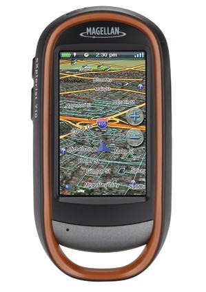
 Magellan has rolled out a new aerial imagery subscription program for their eXplorist and Triton lines. Like the DeLorme and Garmin services, this one will utilize DigitalGlobe imagery and runs $29.99 per year.
Magellan Triton custom maps

There’s been a lot of progress recently on making custom maps for the Magellan Triton series. For any of you with these handhelds, here are some resources to check out…
Magellan Triton 1500 review

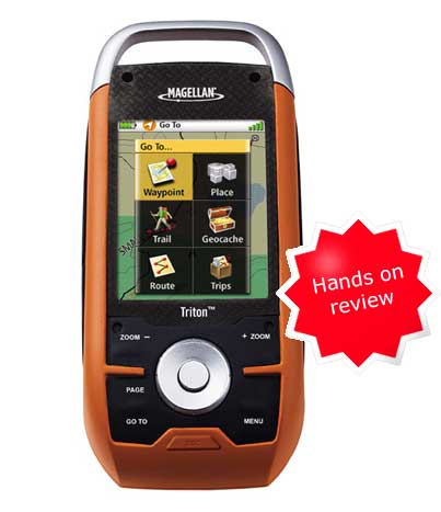
The Magellan Triton 1500 is one of a new series of handheld GPS receivers from Magellan that can display USGS topo maps (raster imagery) from National Geographic. I’ve had the unit for over six weeks now and have put it through its paces.
Magellan Triton 1500 – First impressions
 UPDATE: Read my Magellan Triton 1500 review.
I’ve had a few days to try my new Magellan Triton 1500 and have decided to post some initial impressions, since a full review isn’t likely till after the holidays.
Cable snafu
After a stumbling introduction, Magellan seems to be going the extra mile to assist folks who received units without cables (short of moving their tech support back to the U.S.!). If you were one of the unlucky recipients of a Triton 1500 sans cable, email me at rich at makeyourownmaps dot com and I’ll try to put you in touch with someone who can help.
Hardware
The Triton 1500 fits nicely in my hand and feels solid. I like the touch screen and am finding it relatively easy to move back and forth between it and the button controls. I am not finding it necessary to use the stylus that often.
The buttons are stiff, and will take a little getting used to. They are backlit, which is a nice feature. One of the worst things I can say about the hardware at this point is that the screen isn’t that bright. You have to hold it at the proper angle to view it in sunlight, and even then it is difficult. It is nowhere near as bright as my Garmin 60CSx. I’m assuming that Magellan made compromises here to save some money and to be able to bring the unit to market at a lower price point.
Hands on with the Magellan Triton 2000
UPDATE: Read my Magellan Triton 1500 review.
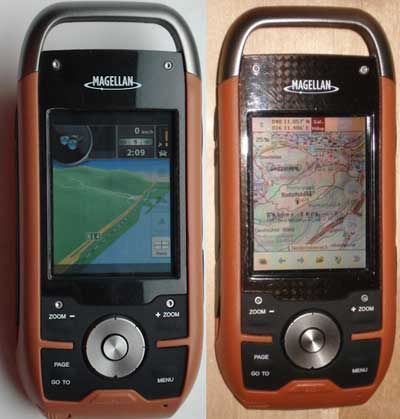
GpsPasSion got some quality time with the upcoming Magellan Triton 2000 and has posted pictures for all to see. They are reporting exceptionally fast map scrolling and zooming, which may help account for the short (AA) battery life being reported. From the images, we can tell that the Tritons will use a Windows CE platform, opening the door to all sorts of user hacks. It also appears that the device may use an old style Magellan to USB connector, rather than a mini-USB.
