Sunday, March 18, 2012

Archives for 2012

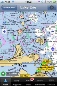
iNavX Marine Navigation for iOS review

iNavX for iOS review

Hands on Review of iNavX Marine Navigation for iOS

The iNavX marine charting app is targeted for recreational boaters.  This app allows navigation using NOAA raster charts and a few other proprietary vector and raster chart formats.  Users can create waypoints & routes and also record tracks.   read more
A (shaky) first look at Landmark Guidance

UPDATE: Read my hands on review of the Magellan RoadMate 5230T-LM with Landmark Guidance.

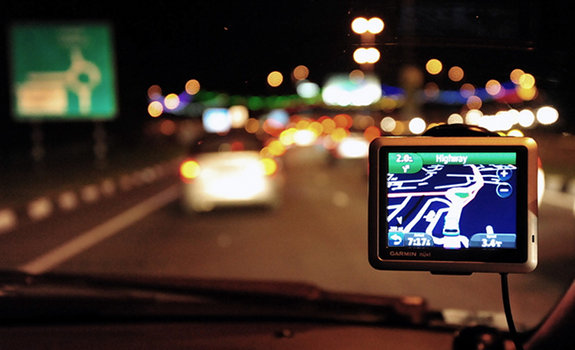
I’ve been testing the Magellan Roadmate 5230T-LM for the last few weeks, which (AFAIK) is the first navigator in the US to feature Landmark Guidance. Basically, in addition to using street names for guidance, it will tell you to turn at “landmarks” like a McDonalds or a Chevron station. You can see and hear it in action in the admittedly shaky video above. Apparently I need a camera with image stabilization, although the main point in this video is the audio. read more

Auto GPS FAQs

Here’s a list of posts covering a wide range of frequently asked questions (FAQs) about auto GPS receivers: read more

Handheld GPS FAQs

Here’s a list of posts covering a wide range of frequently asked questions (FAQs) about handheld GPS receivers: read more

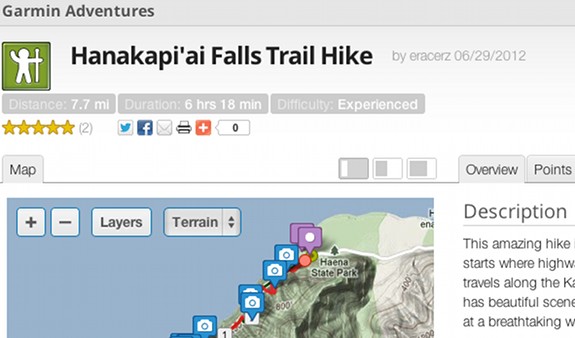
Garmin Adventures: A sneak peek

Garmin Adventures hasn’t been officially announced to the general public yet, but there’s enough information available to give you a good peek at what’s coming. Basically, it seems to be a social/outdoor adventure sharing website, that integrates with BaseCamp, allowing you to download “adventures” to your Garmin (see screenshots below). read more

Garmin BaseCamp app coming to smartphones

UPDATE: Read my hands on review of the Garmin fenix.

I don’t know how I missed this little tidbit in yesterday’s Garmin fenix announcement:

A Basecamp mobile app allows users to transfer waypoints and tracklogs to view them on a more detailed map and larger screen of select smartphones.


read more

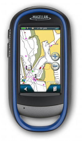
Magellan eXplorist 510 Marine Edition announced

Looks like Magellan is trying to carve out a new niche with boaters. Following Monday’s announcement of two Angler editions of the eXplorist line, they’ve now announced the Magellan eXplorist 510 Marine Edition, which includes U.S. coastal coverage up to two miles offshore, with data on 5-foot contours, tides, currents, wrecks, port plans, marsh areas, and marine services. And just in case you spend time both offshore and on inland waters, 12,000 US lakes are charted for you too.

read more

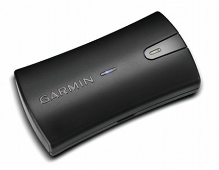
Garmin GLO brings GLONASS to your smartphone or iPad

Garmin has announced the Garmin GLO, a portable GPS and GLONASS receiver that connects to Android and iOS devices via Bluetooth. The company claims it is the first wireless receiver to feature both GPS and GLONASS capabilities. read more

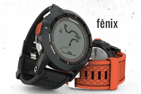
Garmin fenix – a wrist-top backcountry navigator

UPDATE: Read my hands on review of the Garmin fenix.

The Garmin fenix (pronounced Phoenix) was announced by the company this morning. It appears to update the rather clunky Foretrex line with a slimmer form factor built on the Forerunner sportswatch platform. The fenix is a full-fledged navigator with the ability to store and navigate waypoints, tracks and routes; and get this – it is even setup for paperless geocaching! A barometric altimeter and tri-axial compass are also squeezed in. It seems to have just about everything except the ability to add maps. read more

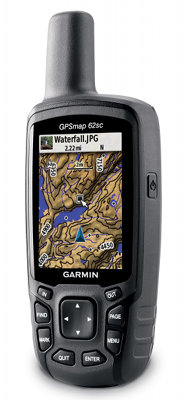
Garmin GPSMAP 62sc

Garmin GPSMAP 62sc review

The Garmin GPSMAP 62sc adds a 5MP geotagging camera to the incredibly popular GPSMAP 62s, allowing you to snap pictures on the go, and have those images automatically tied to a location, without having to carry another device. You’ll also get added memory, NiMH batteries and charger and a picture viewer.

read more