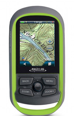
Magellan eXplorist GC with National Geographic Topo maps
The latest update to the geocaching-centric Magellan eXplorist GC has given it the ability to accept National Geographic Topo and Digital Globe aerial imagery content. The GC has no expansion slot, but does have 500MB of memory available for added maps, etc. This doesn’t turn the GC into a great hiking unit, as I believe it still lacks some significant navigation features, but it should expand its capabilities for both urban and backcountry geocachers. read more


 Magellan has announced a new partnership with Navionics, allowing Magellan eXplorist 510, 610 and 710 owners to load marine, lake and fishing charts to their devices.
