UPDATE: This model has been discontinued. For current recommendations, please refer to our auto GPS buyers guide.
NOTE: MSN Direct is ceasing operations on January 1, 2012.
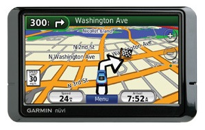
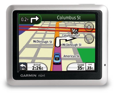
The Garmin nüvi 285WTis one of the second-generation models in the nuvi 2×5 series, which I dubbed the “best entry level GPS on the market.” This series offers more mid-line features though; in addition to everything that made the 2×5 series a hit, the 285WT adds MSN Direct services and Bluetooth for hands-free cell phone use. It includes pre-loaded maps of the U.S. and Canada, has a 4.3″ wide touch-screen and comes with text-to-speech, so you’ll hear “drive one-half mile, then turn left on Oak Street,” instead of just “drive one-half mile, then turn left.”
The similarly appointed nuvi 265WT has lifetime NAVTEQ traffic instead of MSN Direct; otherwise it is identical to the 285WT.
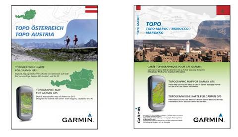 A lot of new topo map products have shown up on Garmin’s website. Some of these may have been available for awhile, but most appear to be new. I’ll also note that they seem to be different than the offerings from Garmin’s long running
  MSN Direct has announced that they will cease operations on January 1, 2012. This will effect owners of Garmin nuvi x8x units, although with plenty of lead time, I doubt that it will be a huge issue for them. Garmin however, may have trouble marketing any backlog of these units they have on hand. You can read all the gory details
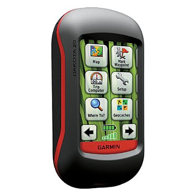
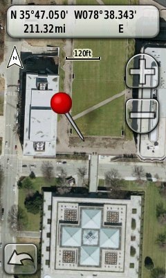 I didn’t think this would take long. Some of the more technically adept GPS enthusiasts among us have put together some great tools for creating custom maps for the latest generation of Garmin handhelds. Here are two new ones released in the last day or so. Both allow you to create maps without manually calibrating them in Google Earth.
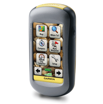
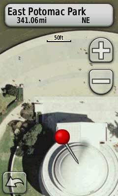 There are a lot of new map makers out there now that Garmin has opened the door to
  Owners of the Garmin Colorado, Dakota and Oregon series got a nice surprise
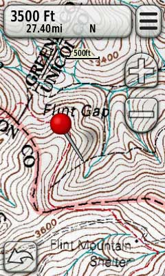
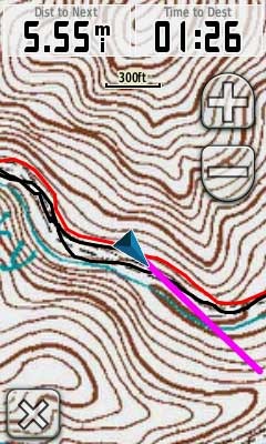
 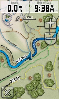 Garmin has added support for custom raster imagery to the Colorado, Dakota and Oregon product lines. This will allow you to add aerial photos, USGS topo maps, etc. to your device. You’ll need the latest beta firmware for the units (betas have not been posted for all units yet), but the process is laid out in