Sunday, March 18, 2012

More free topo maps for Garmin receivers

Free_topo_maps

UPDATE: I’ve posted a more comprehensive set of resources for free topo maps for Garmin GPS receivers.

The list of states for which there are free high-resolution, Garmin-compatible topo maps continues to expand. The following are currently available:

read more

Magellan Triton custom maps

Triton_ozice_and_nav_n_go

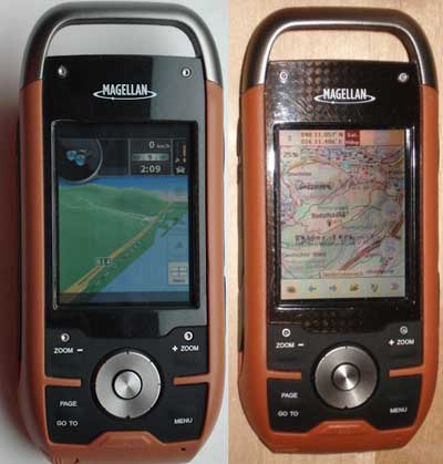
There’s been a lot of progress recently on making custom maps for the Magellan Triton series. For any of you with these handhelds, here are some resources to check out…

read more

UK to get raster maps for Garmin Oregon

Oregon_raster_imagery

UPDATE: Garmin UK has a page up on the product, dubbed called Garmin GB ActiveTM.

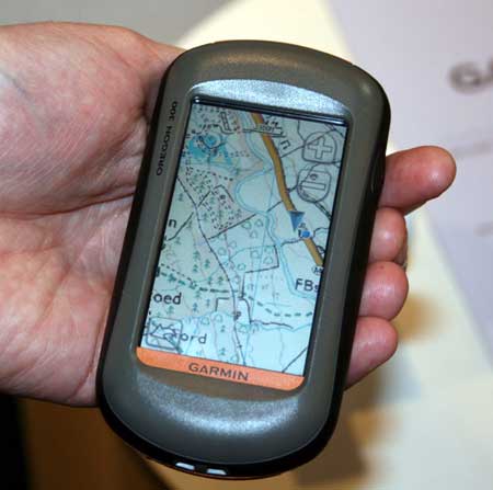
Garmin Oregon owners in the UK will soon be able to view Ordnance Survey raster maps on their units. Raster aerial imagery has been available on marine units since the release of the Garmin Colorado and Oregon 400c/i models, yet we landlubbers have had to make do with vector maps.

The OS maps, due to be released early next month, will reportedly overlay vector data on top of raster imagery, allowing for turn-by-turn navigation.

read more

National Geographic TOPO! adds support for new Garmin units

Ng_maps_logo
National Geographic has released TOPO! version 4.5, adding support for Garmin Oregon, Colorado, Edge and nuvi models. A Mac OS X version is also available. This is a welcome improvement, as too few mapping software programs support these models.

read more

Ten reasons TopoFusion rocks

Topofusion_header

TopoFusion is my go-to program for planning and tracking backcountry adventures. It’s typically the program I turn to first and there is rarely a day that goes by without me using it. Here are ten reasons that TopoFusion rocks:

1. The ability to toggle between USGS topo maps, aerial photos and hybrid imagery

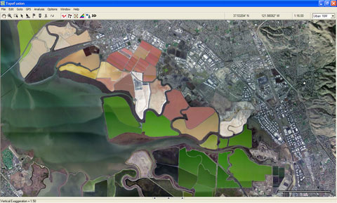
All you have to do is tap “a” on the keyboard to toggle between these views. The TerraServer aerial imagery includes B/W U.S. coverage to 1 meter/pixel and color urban coverage to 0.25 meters/pixel. TopoFusion also accesses Canadian topos, TIGER street maps and worldwide LandSat imagery. The color urban imagery below is of salt ponds at the south end of the San Francisco Bay (16 meters/pixel).

Topofusion_urban_imagery

read more

Garmin adds China map coverage ahead of Olympics

Garmin_china_maps

Heading to the 2008 Summer Olympics in Beijing? Garmin has you covered. Two weeks ahead of the games, Garmin has released City Navigator China NT, though I have to wonder if the coverage is as good as is suggested by the map above.

read more

Upgrade your maps within 30 days of buying a GPS

UPDATE: Garmin has updated their policy with their nuMaps guarantee, which gives users 60 90 days to register their device. Follow the link for more details.

It appears that TomTom and Garmin have both adopted a formal policy of allowing free map upgrades within 30 days of registering a unit. Wait 31 days and you no longer qualify. Hence, I am recommending that anyone purchasing an auto GPS register their device immediately to see if they qualify for a free upgrade.

read more

Open Street Map on a Garmin handheld

Osm_tiger
In last week’s Waypoints, I issued a challenge to Free Geography Tools’ Leszek Pawlowicz to check out Open Street Map (OSM) on a Garmin handheld, now that OSM has incorporated U.S. TIGER data. He good naturedly accepted the gauntlet and posted his findings. The screen shot at left shows a sample.

I’m disappointed that using OSM data in this way doesn’t allow for autorouting. Still, for those of you with Garmin handhelds that don’t want to lay out the bucks for MetroGuide or City Navigator, this is another option.

Thanks Leszek!

Free hi-res topo maps of CO and WY (and Utah soon)

Wyoming_40_foot_topos

UPDATE: I’ve posted a more comprehensive set of resources for free topo maps for Garmin GPS receivers.

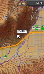
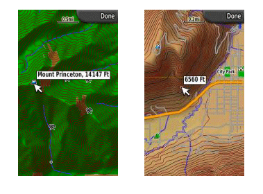
One of the great things about Garmin units is the wide range of free maps that are out there for them. I recently became aware of another source, this one offering 40-foot contour interval maps of Colorado and Wyoming. The not quite accurately named site, Miscjunk, will soon add Utah to the mix too.

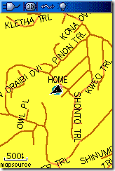
The screen shot at right shows a sample map loaded onto the new Garmin Colorado series. If you load a custom (U.S.) map onto the unit and have Topo U.S. 2008 (which has DEM data) loaded too, you’ll get the nice shading effects seen here.

read more

NAVTEQ vs. Tele Atlas – Try before you buy

Navteq_v_tele_atlas

Sharp-eyed reader and frequent commenter Zane tipped me to this. Here’s a mashup from Mike Purvis, co-author of Beginning Google Maps Applications, that lets you see and compare Tele Atlas and NAVTEQ data sources. So if you have been wondering whether to buy a Garmin GPS (with NAVTEQ data) or a TomTom GPS (with Tele Atlas data), now you can check them out before you buy!

read more